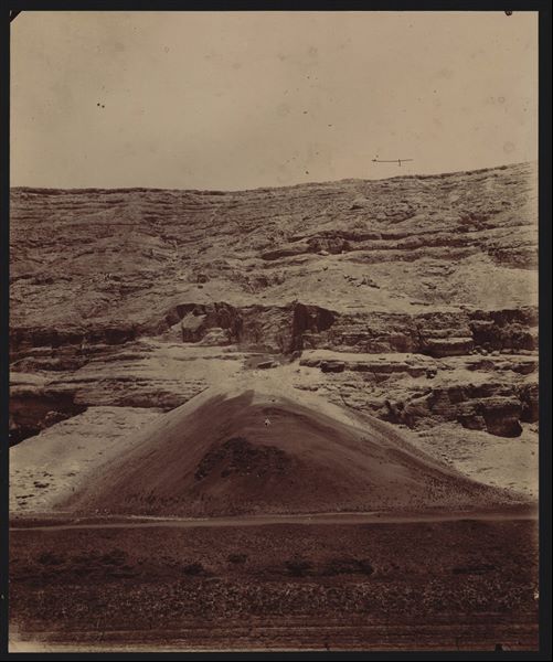
View of the stone quarries. Photograph presumably taken from the so-called pylon, just to the east (right) of the tomb of Wahka II. Schiaparelli excavations.
Area of the rock-cut tombs, the caves of the quarries can be seen on the far right. Schiaparelli excavations.
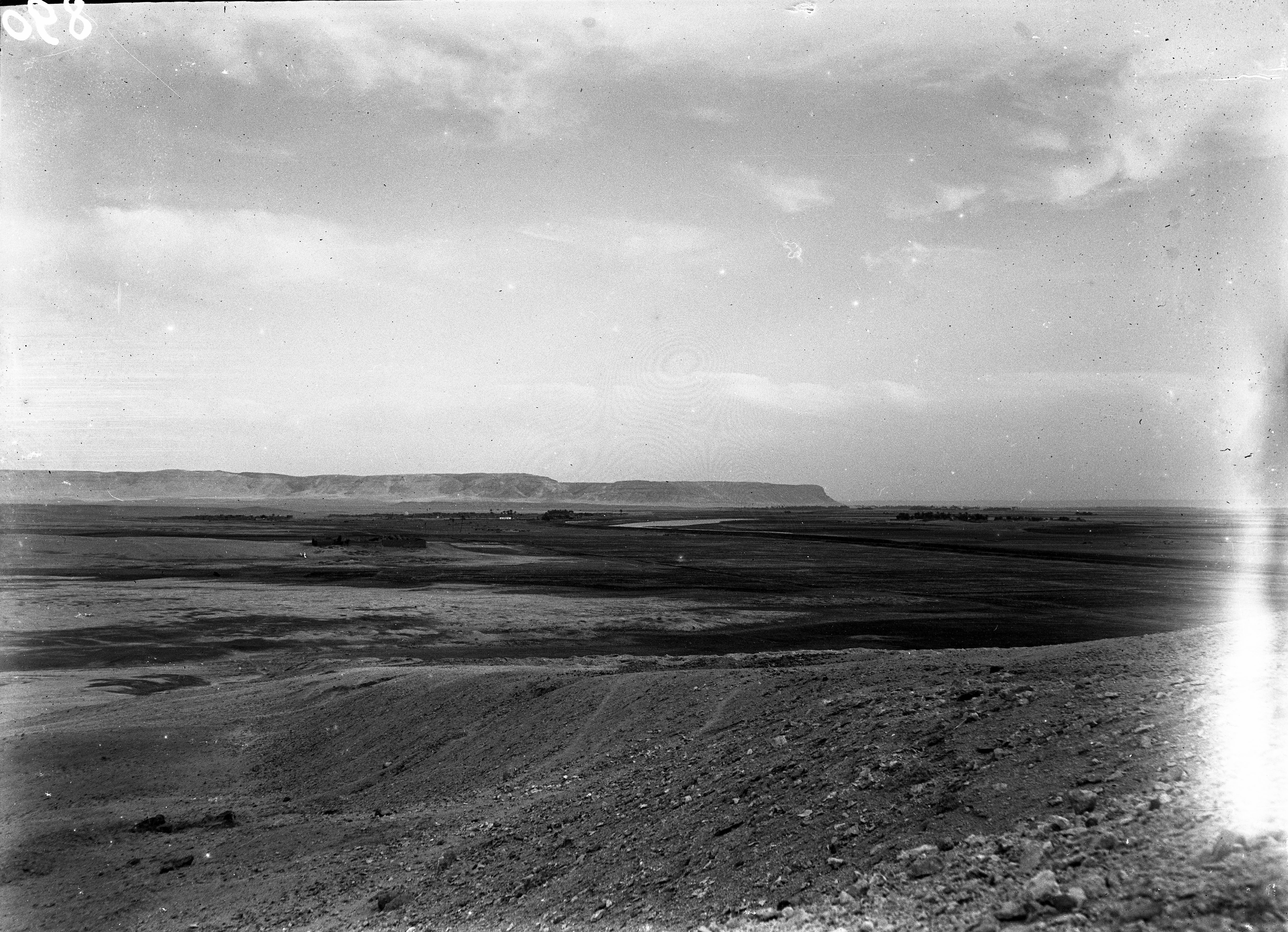
The mountain of Qau near the village of Hammamiya, photograph taken from the bank of the canal. Schiaparelli excavations.
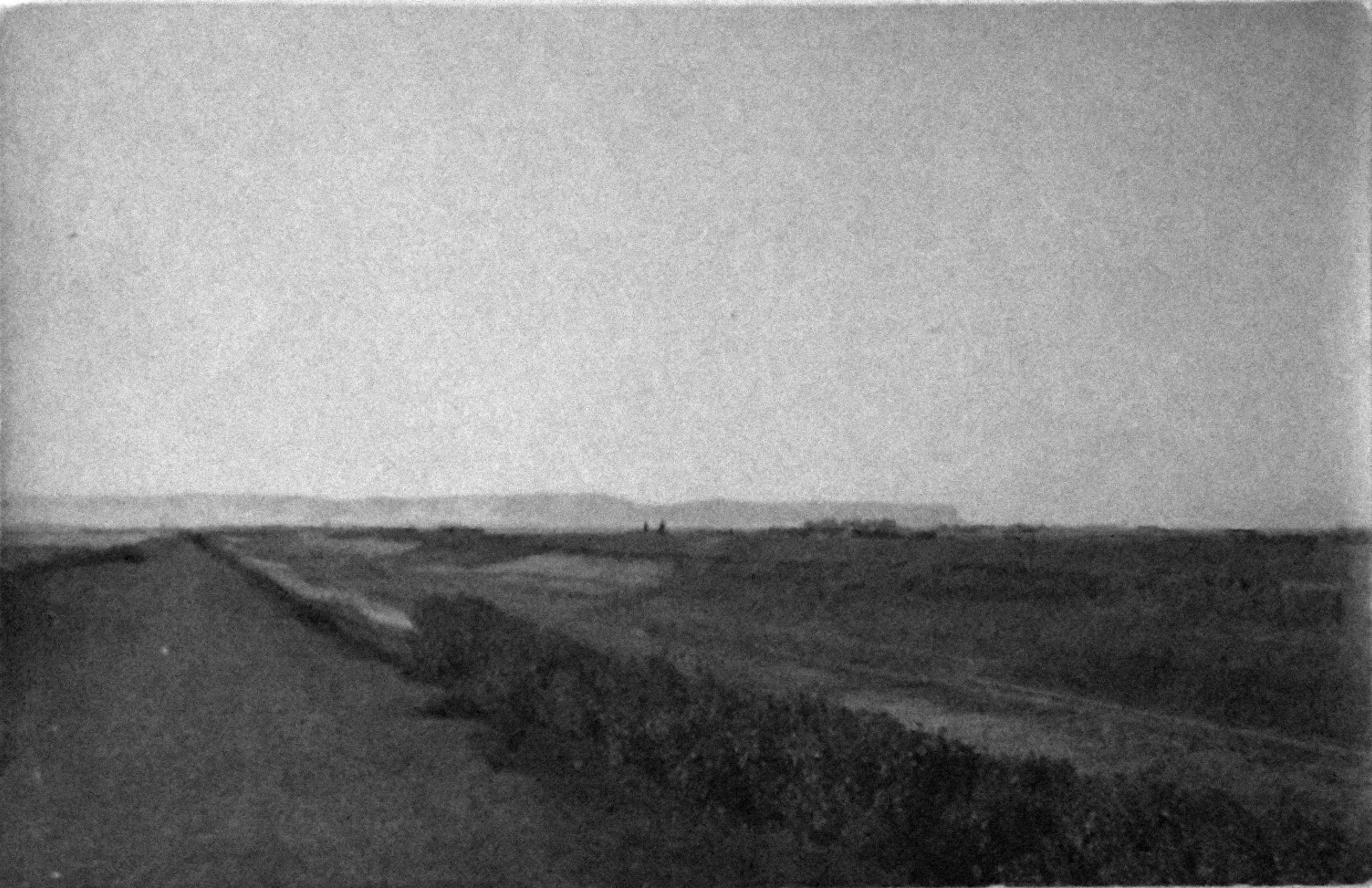
Extension of the mountain range, to the west. Schiaparelli excavations.
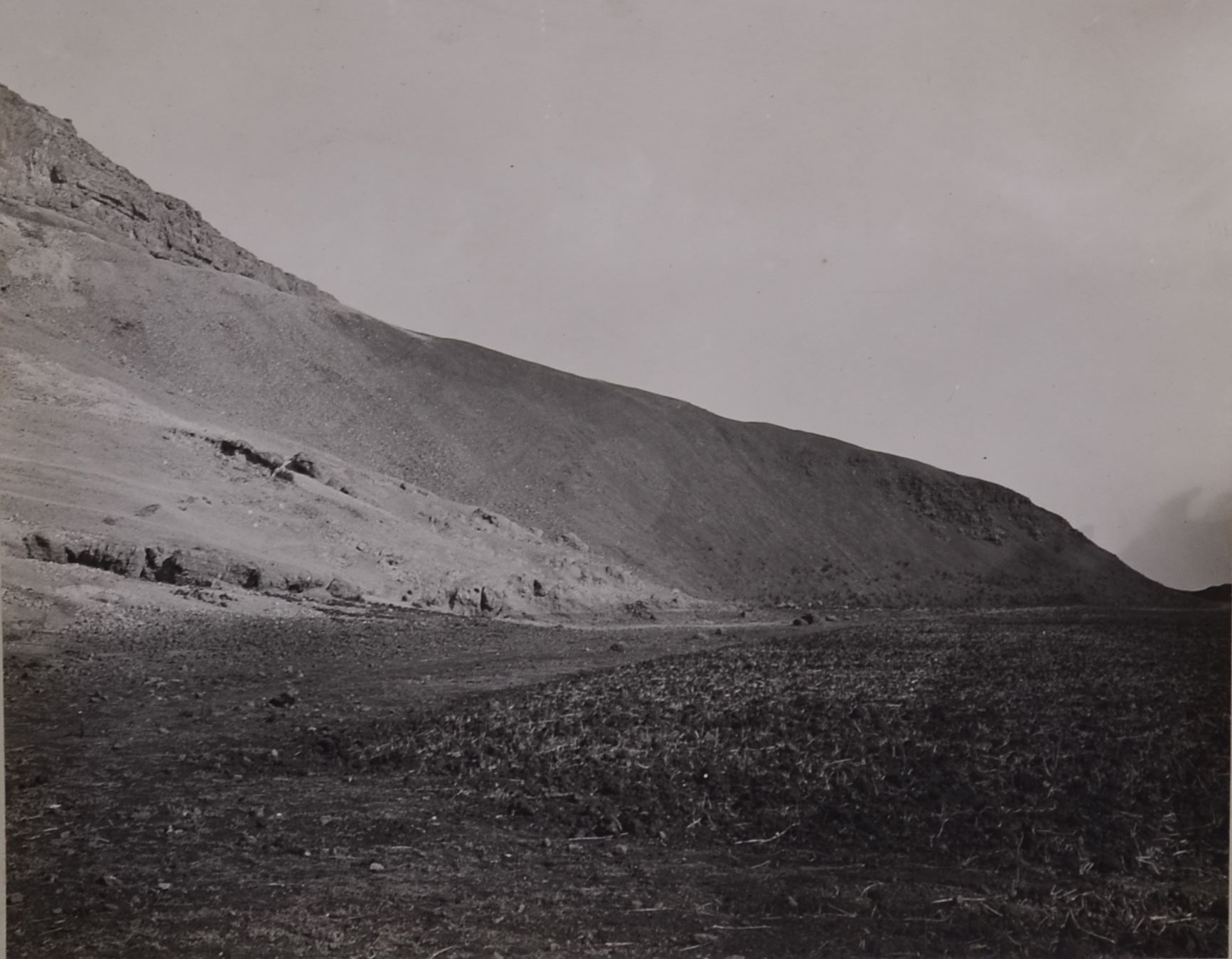
View of the mountain close to the rock-cut tombs (tombs not visible here). Schiaparelli excavations
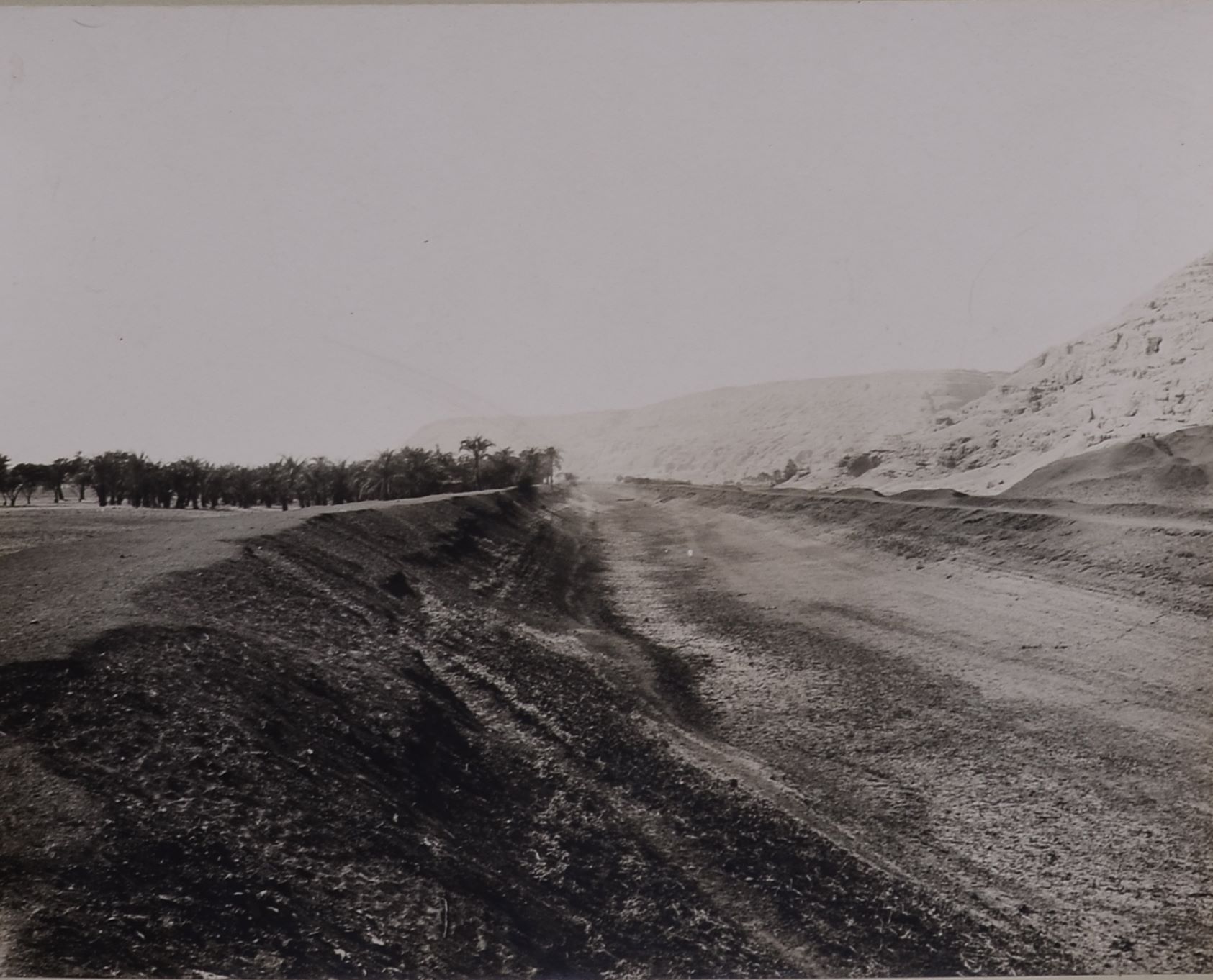
Roads along the banks of a dried up canal near Qau, perhaps a dam. Schiaparelli excavations.
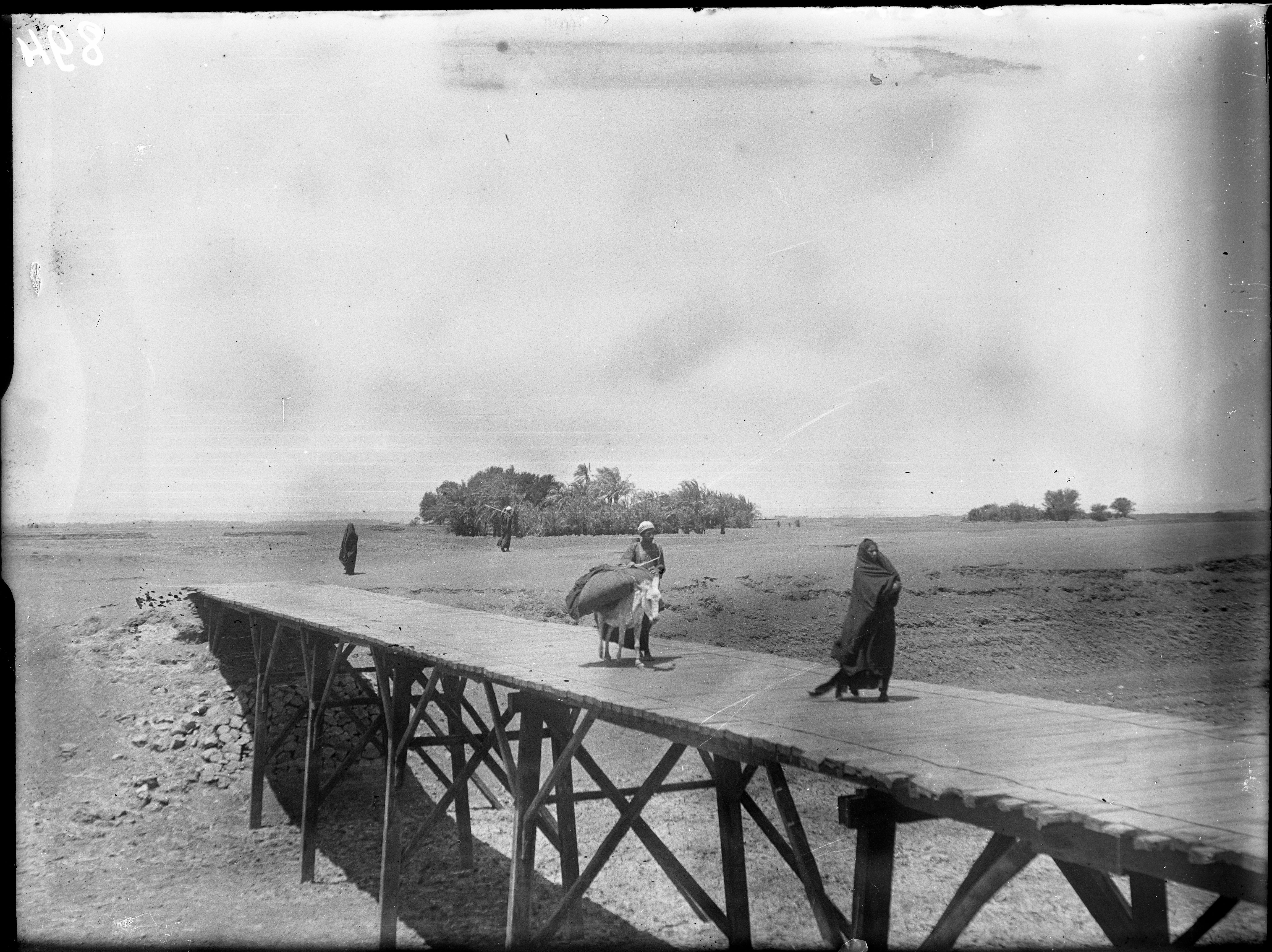
Bridge on a dried up canal near Qau el Kebir – Hammamiya. Probably the same that can be seen in E00294. Schiaparelli excavations.
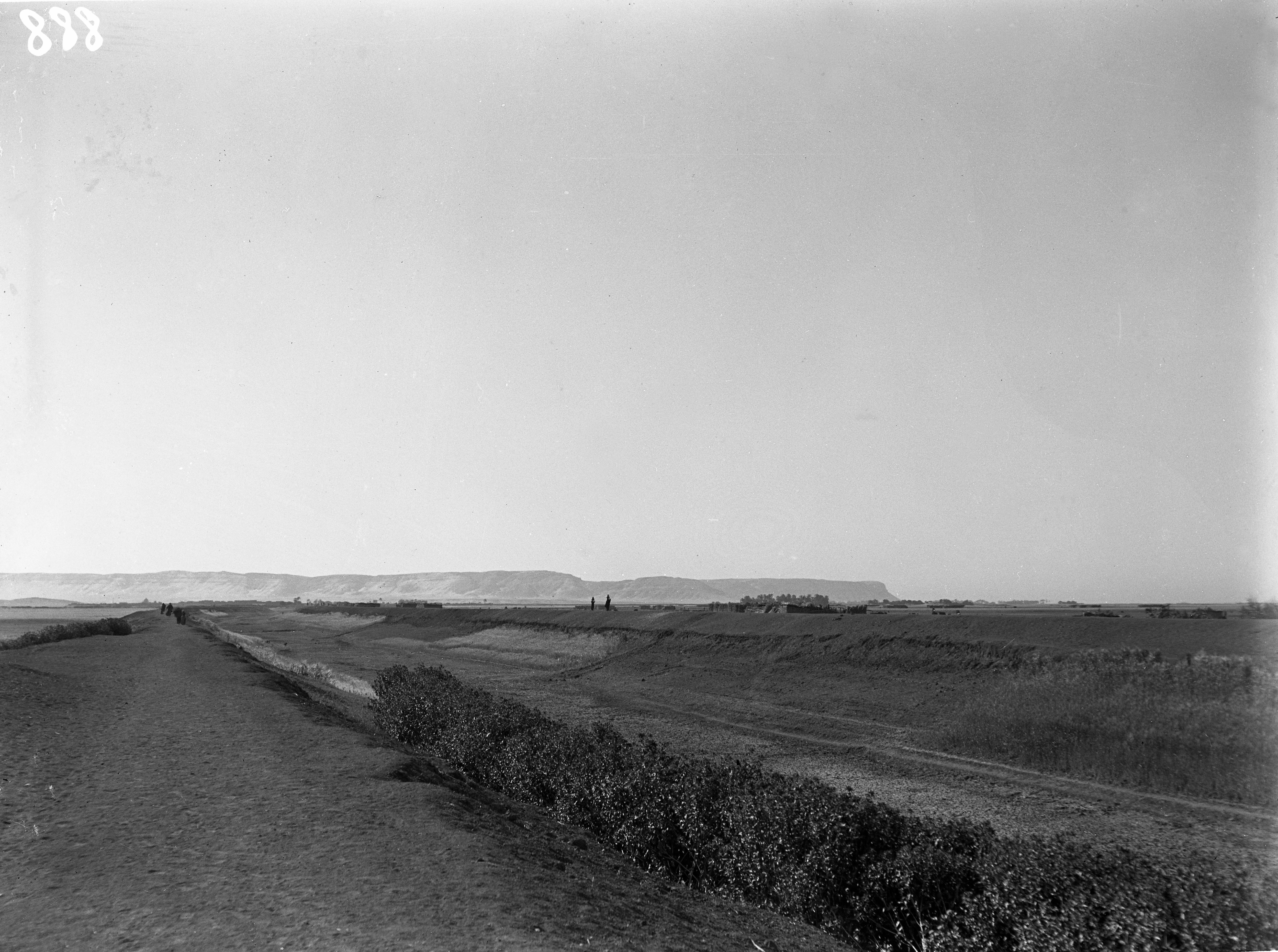
Panorama of the area of Qau el-Kebir, seen from the rock-cut tombs. In the plain you can see an Arab cemetery. Schiaparelli excavations.
Arab cemetery in the plain in front of the rock-cut tombs, in the area of Qau el-Kebir. Schiaparelli excavations.
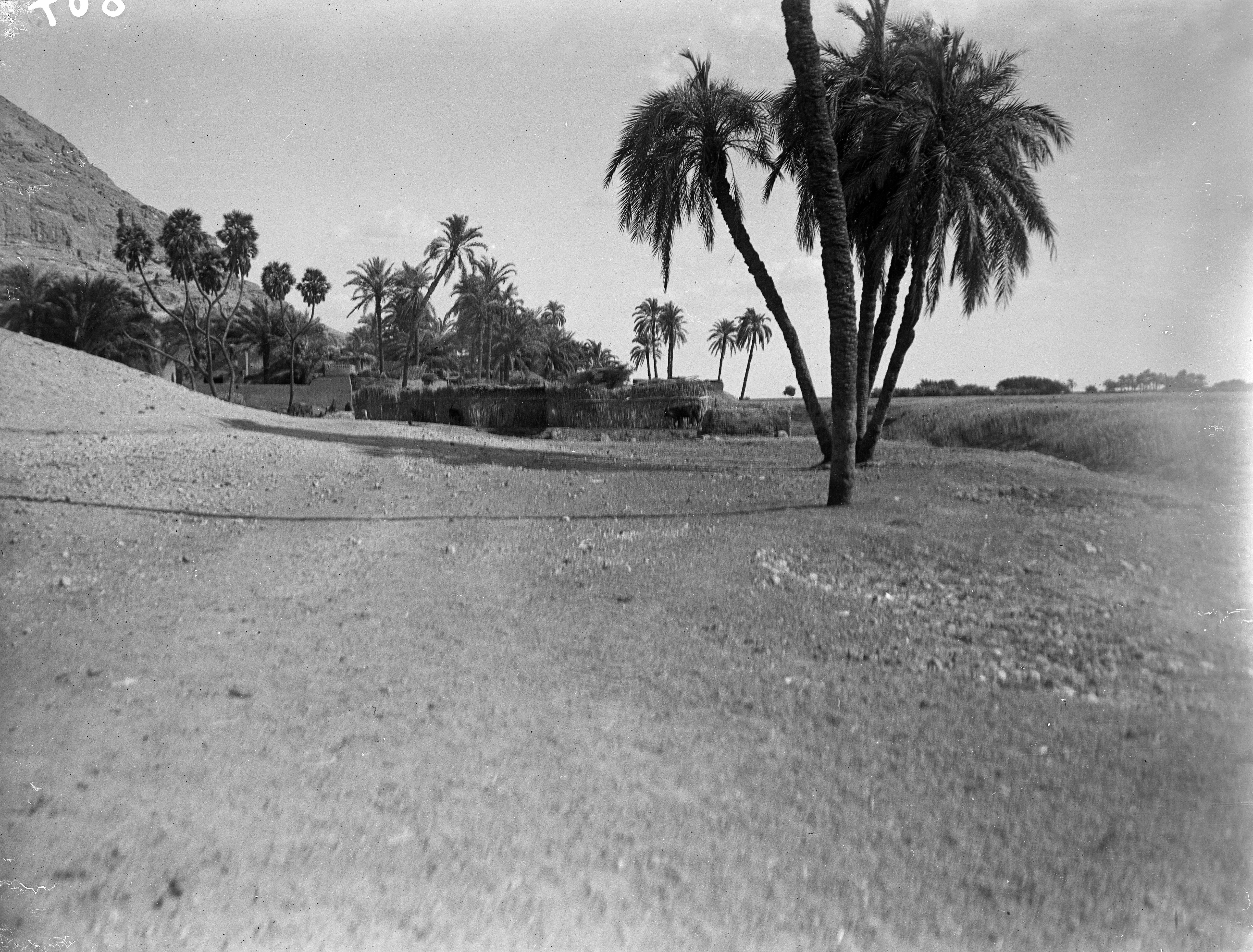
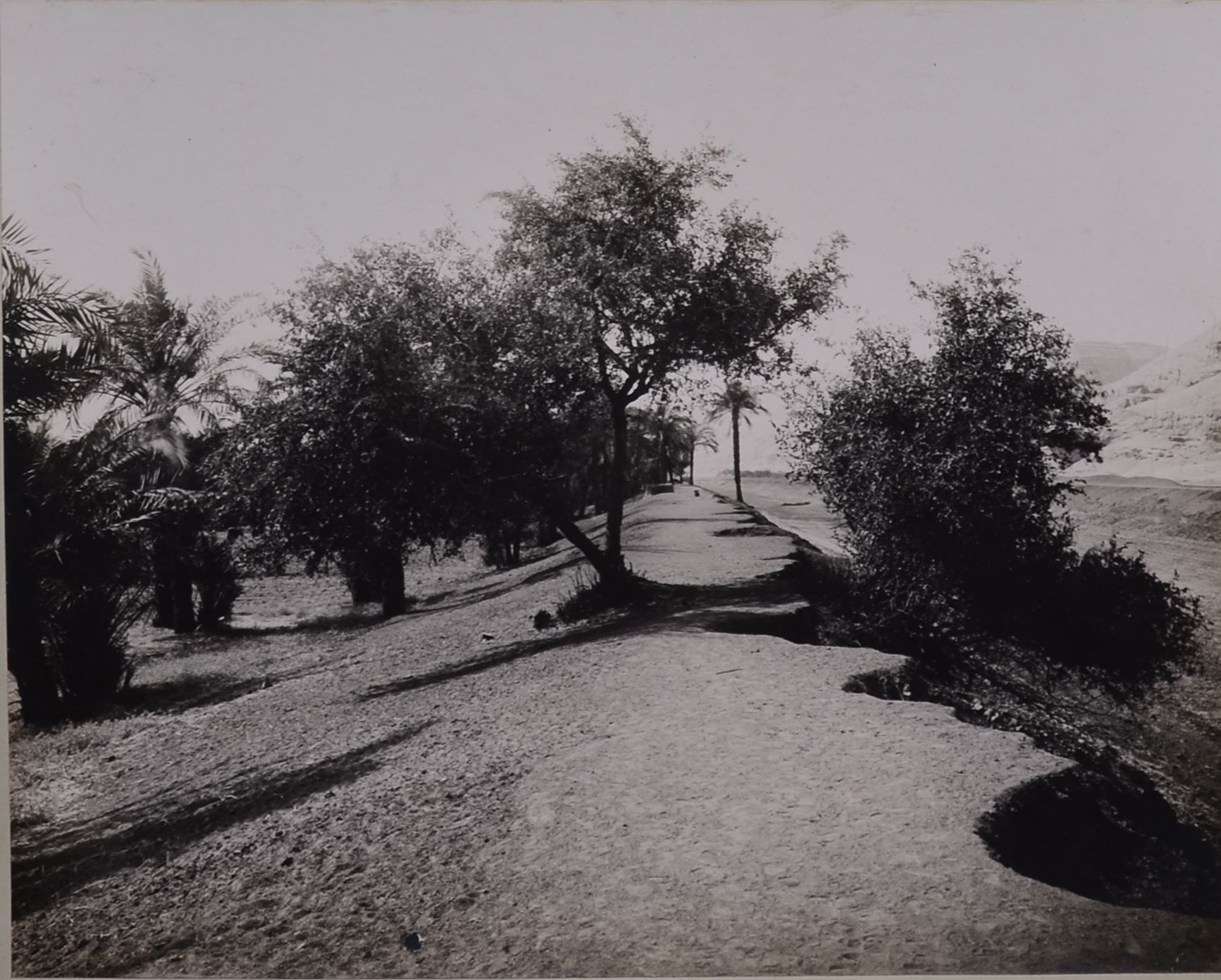
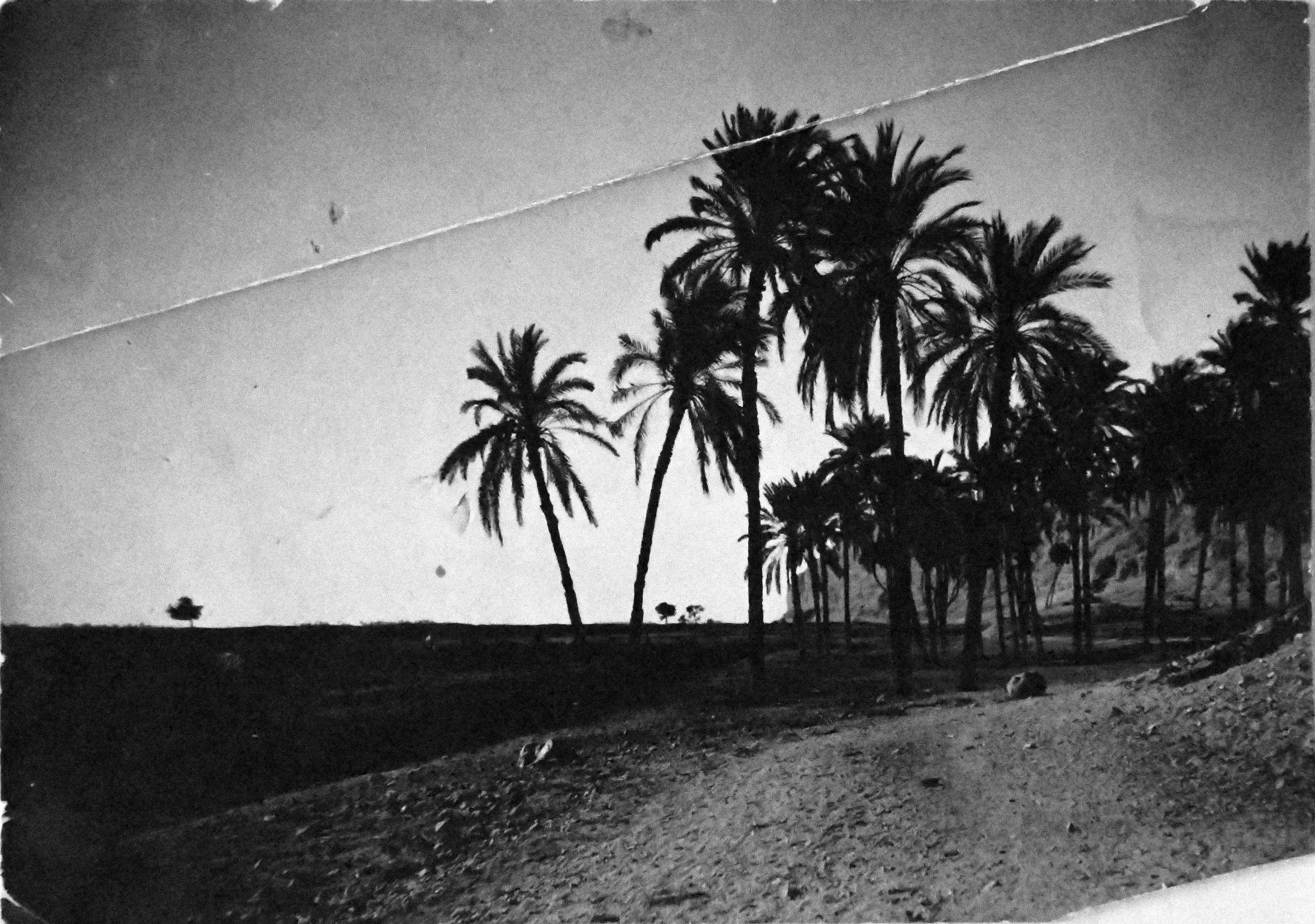
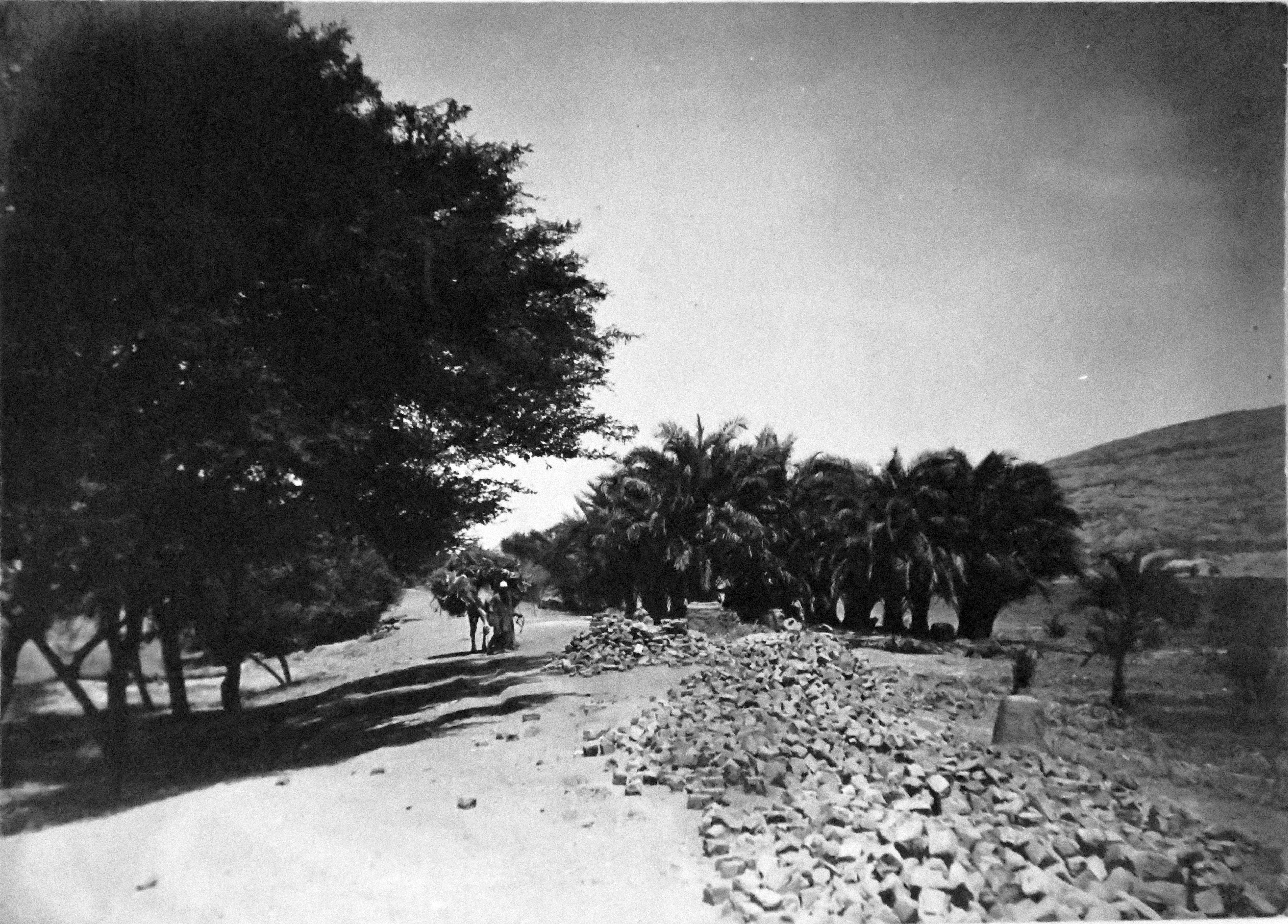
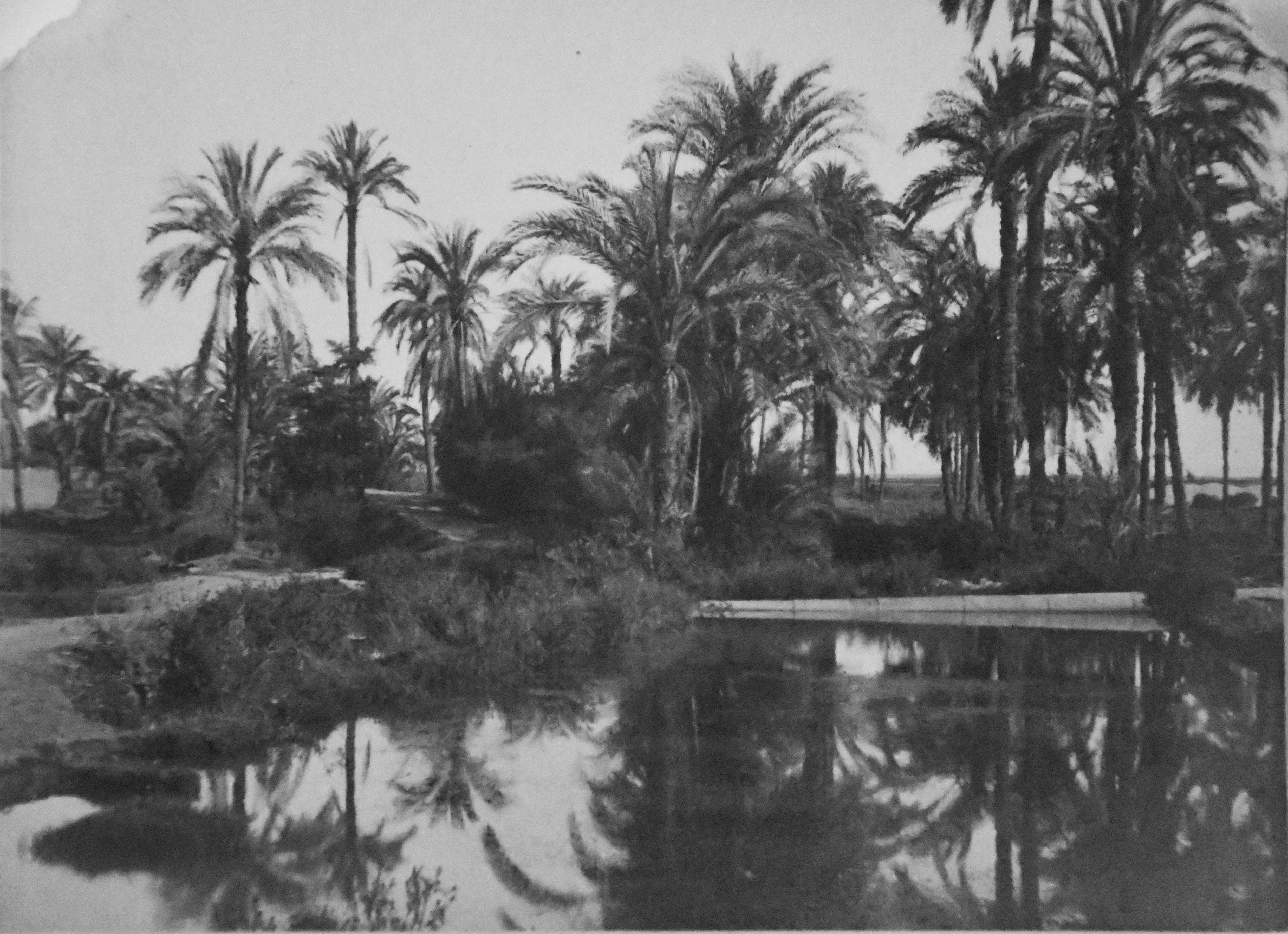
Palm groves between Qau el-Kebir and Hammamiya. Schiaparelli excavations.
Vegetation at the foot of the mountain of Qau el-Kebir. Schiaparelli excavations.
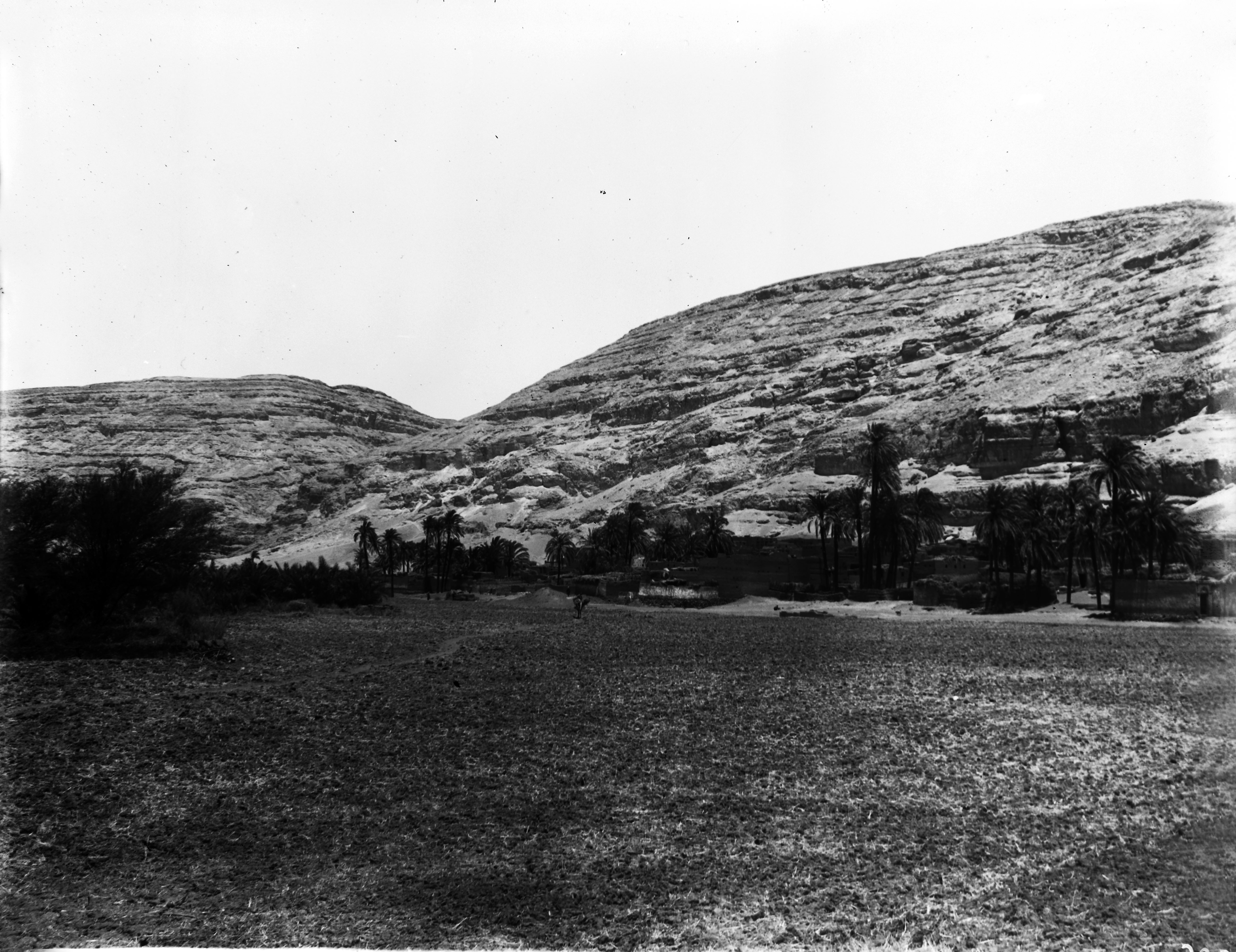
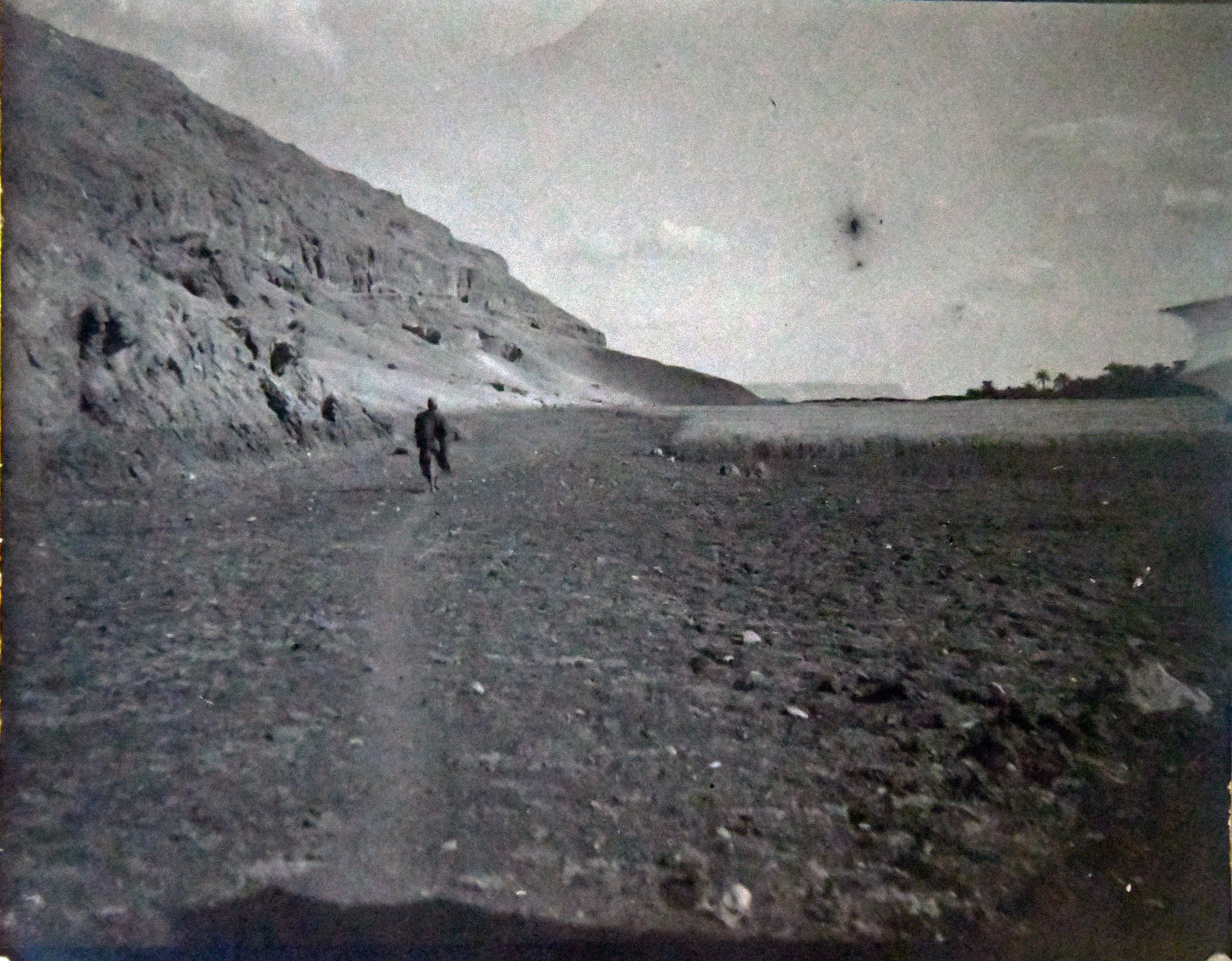
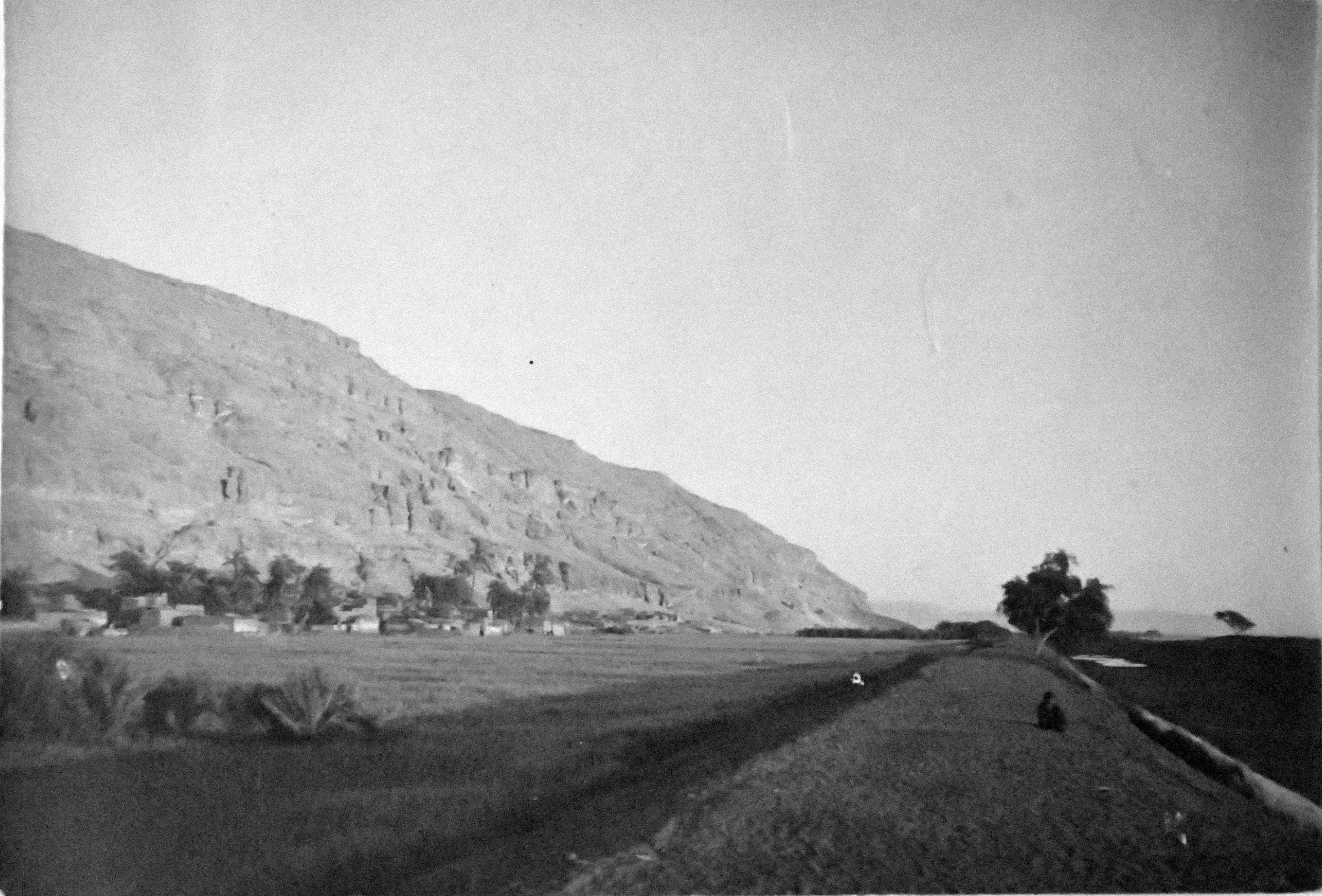
Village at the foot of the mountain in the area of Qau el-Kebir. Schiaparelli excavations.
The village at the foot of the mountain, probably between Qau el-Kebir and Hammamiya. Schiaparelli excavations.
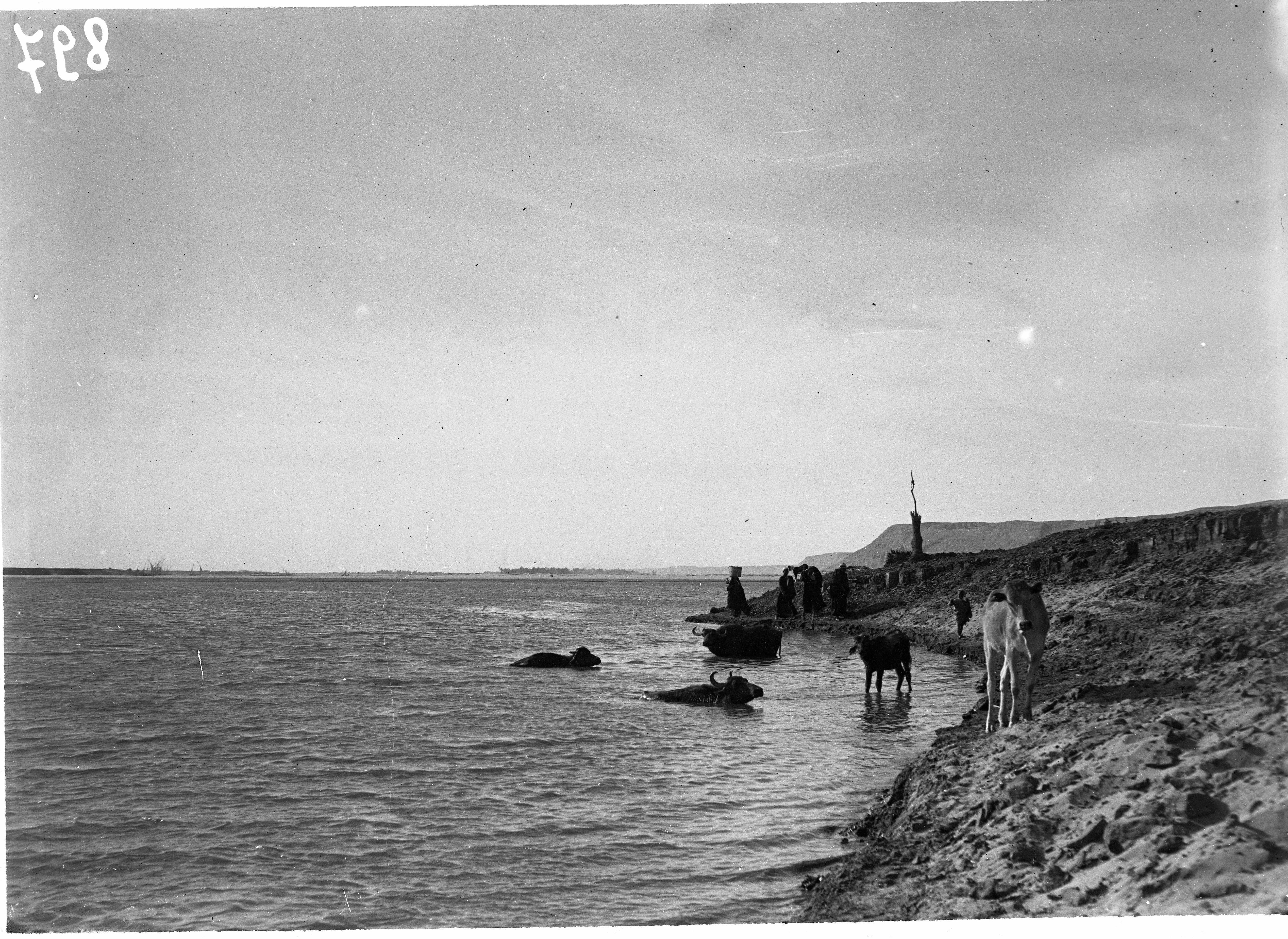
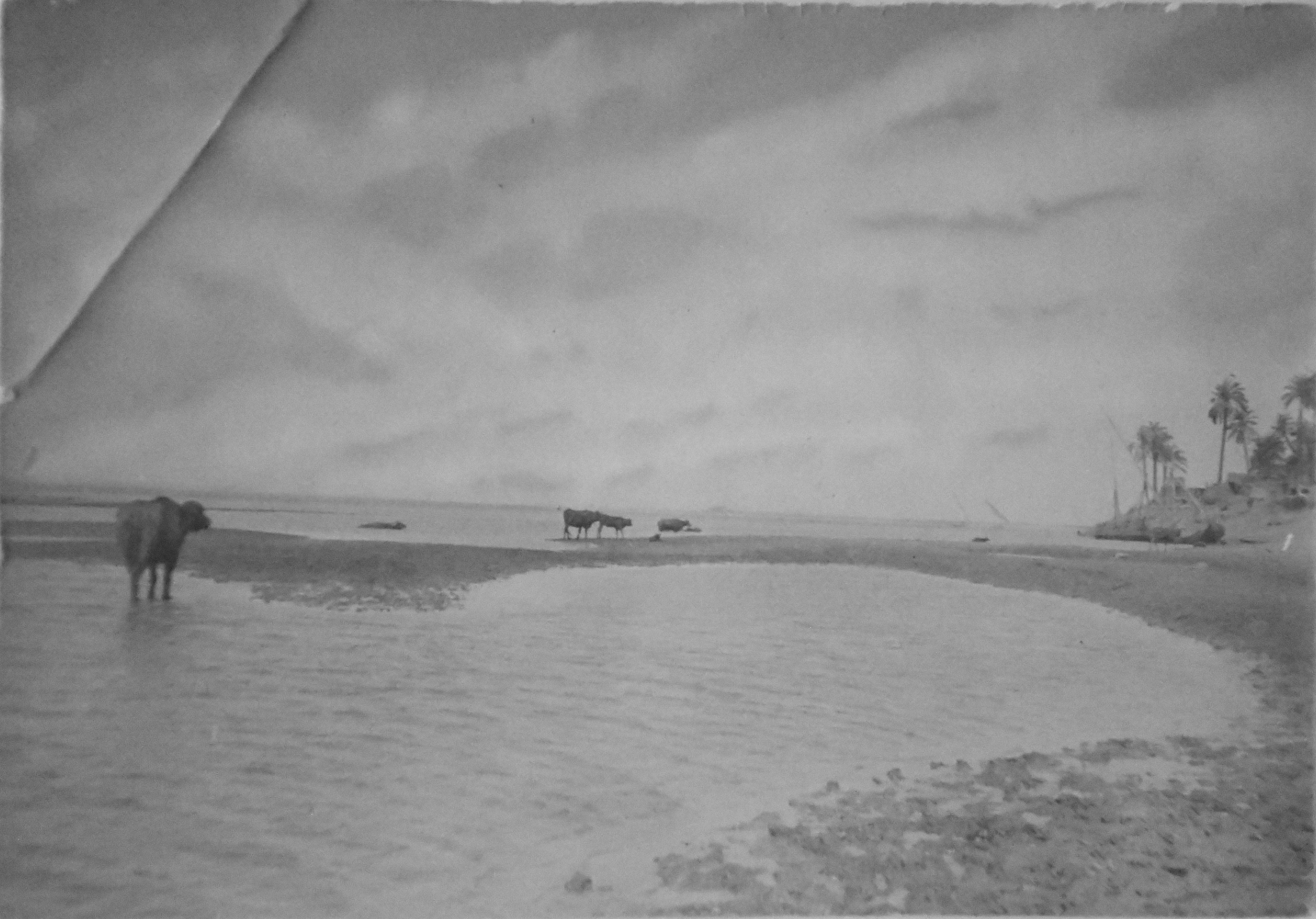
The Nile at Qau el-Kebir, gamuze (type of buffalo) bathing. Schiaparelli excavations.
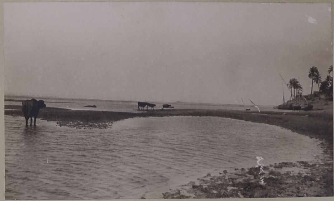
Nilotic landscape near the archaeological sites of Qau el-Kebir and Hammamiya, where some Egyptian cattle (gamusa) can be seen. In the background, some typical sailing boats (feluccas) used on the Nile can be seen. Photo album, Schiaparelli excavations.
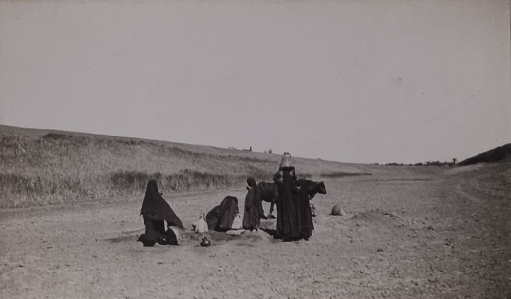
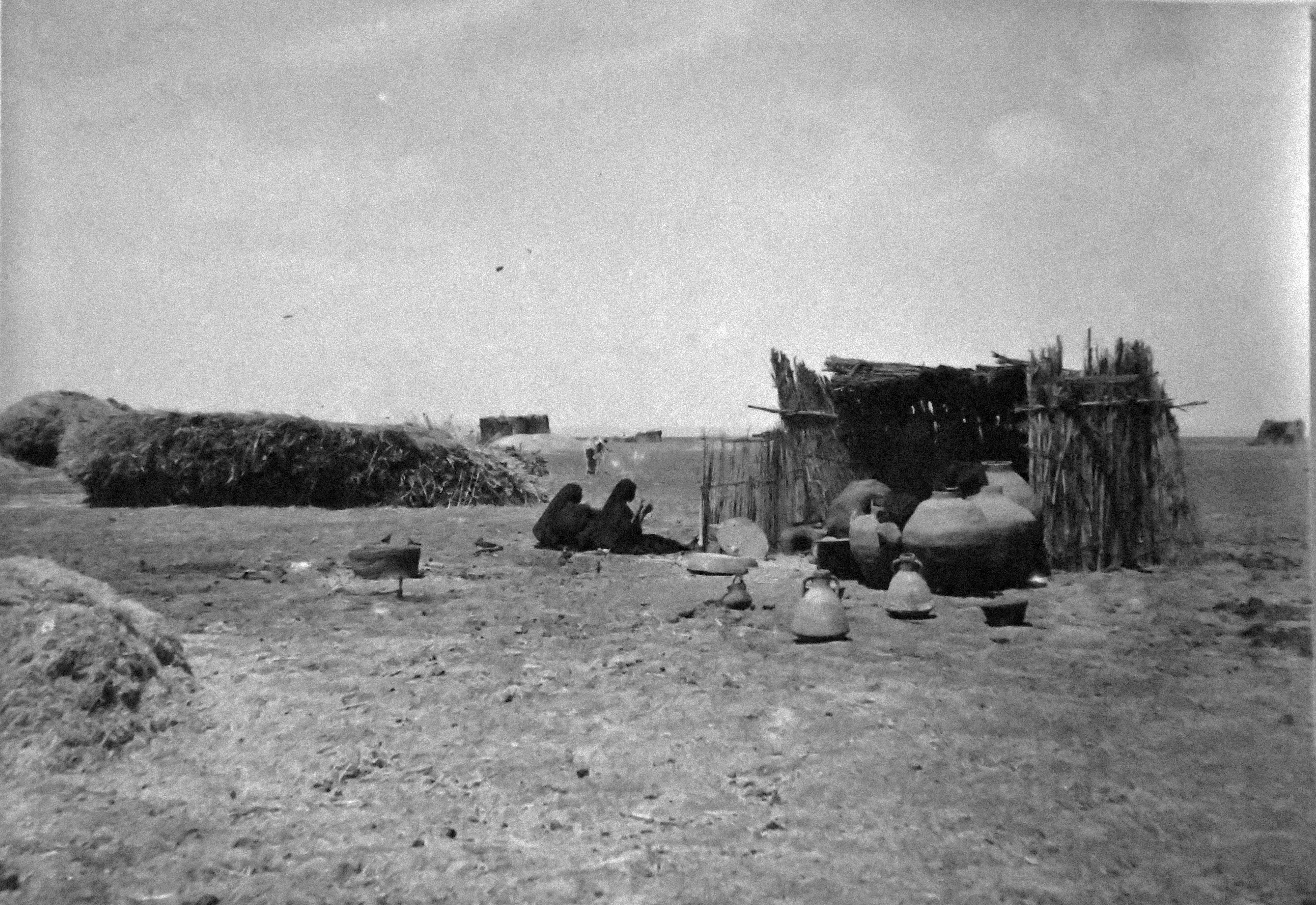
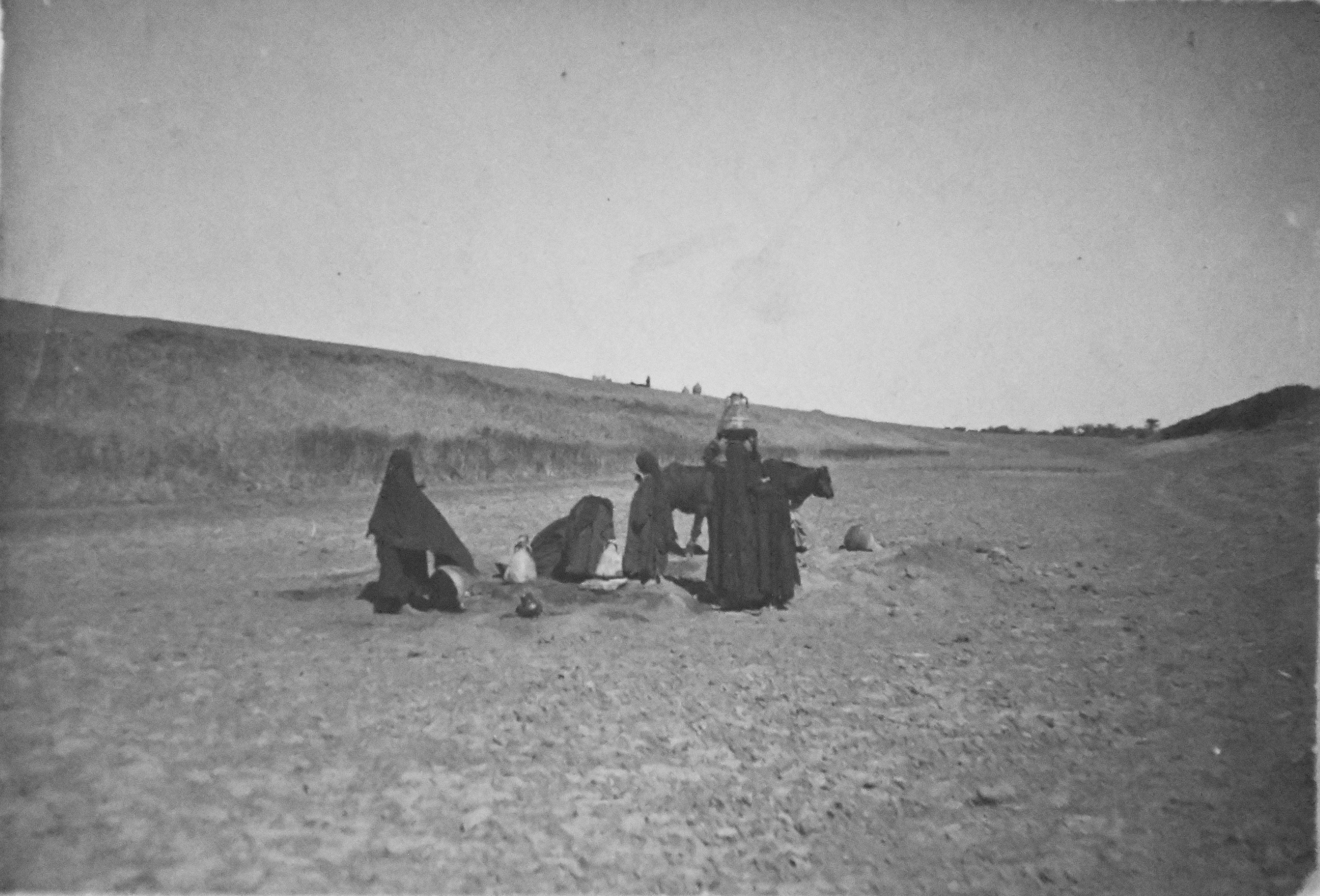
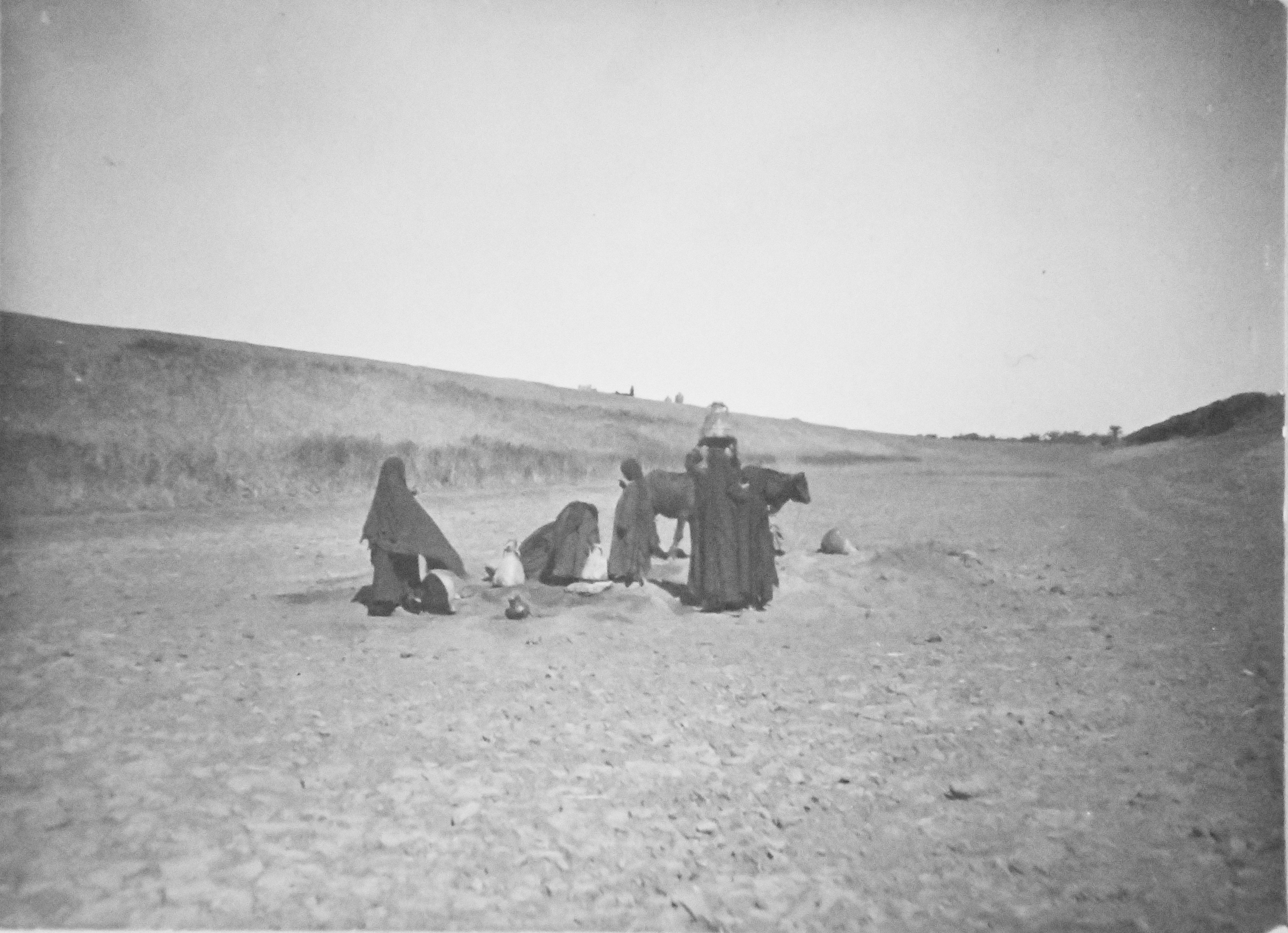
Some women dressed in dark clothes are photographed drawing water from a well in the dry bed of the so-called “grand canal” of Qau, near the archaeological site of Qau el-Kebir. In addition to the women, two bovines are visible. Photo album, Schiaparelli excavations.
View of the drained “grand canal” of Qau, near the mountain and the rock-cut necropolis. Photo album, Schiaparelli excavations.
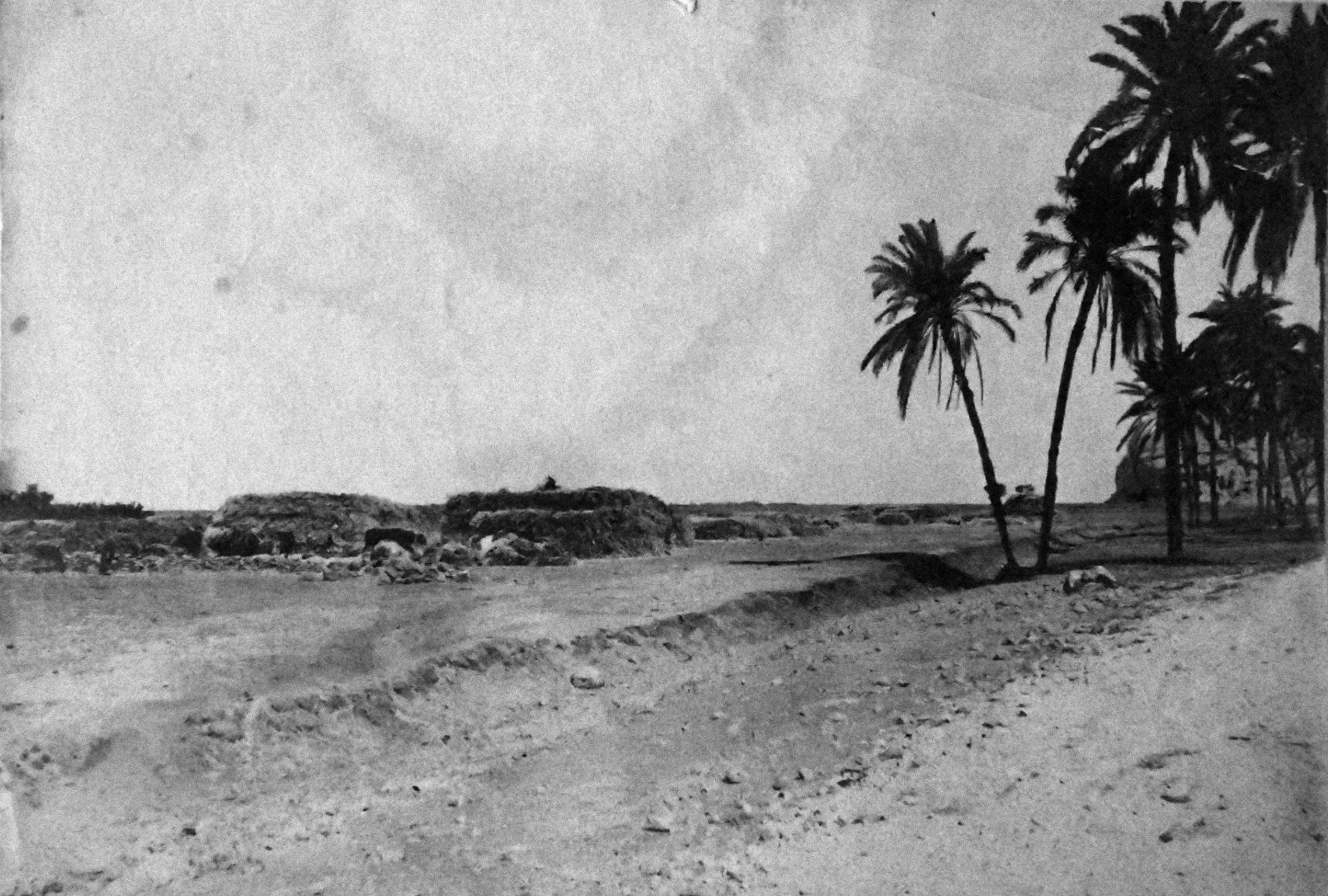
View of one of the banks with shrubs from the drained “grand canal” of Qau, near the mountain and the rock-cut tombs, which can be glimpsed on the right. Photo album, Schiaparelli excavations.
Photograph as evidence of the former presence of a dam or wall built by Amenhotep III, although in this shot there are no clear elements for its identification (original caption: Remains of a gigantic wall built with mud bricks under Amenhotep III), near the archaeological site of Qau el-Kebir. Photo album, Schiaparelli Excavations.
Distant view of the caves and stone quarries, presumably seen from the area of Wahka II's tomb. Very poorly preserved photograph, possibly due to excessive exposure to light, or a print that was too faint. Schiaparelli excavations.
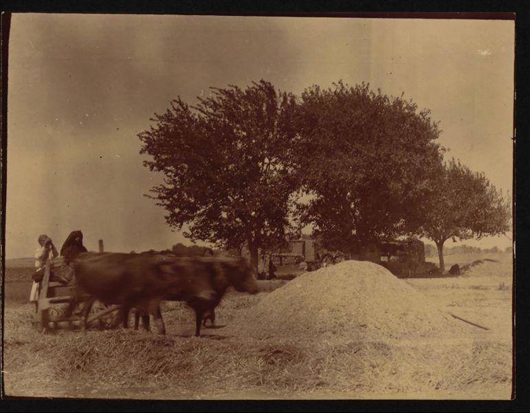
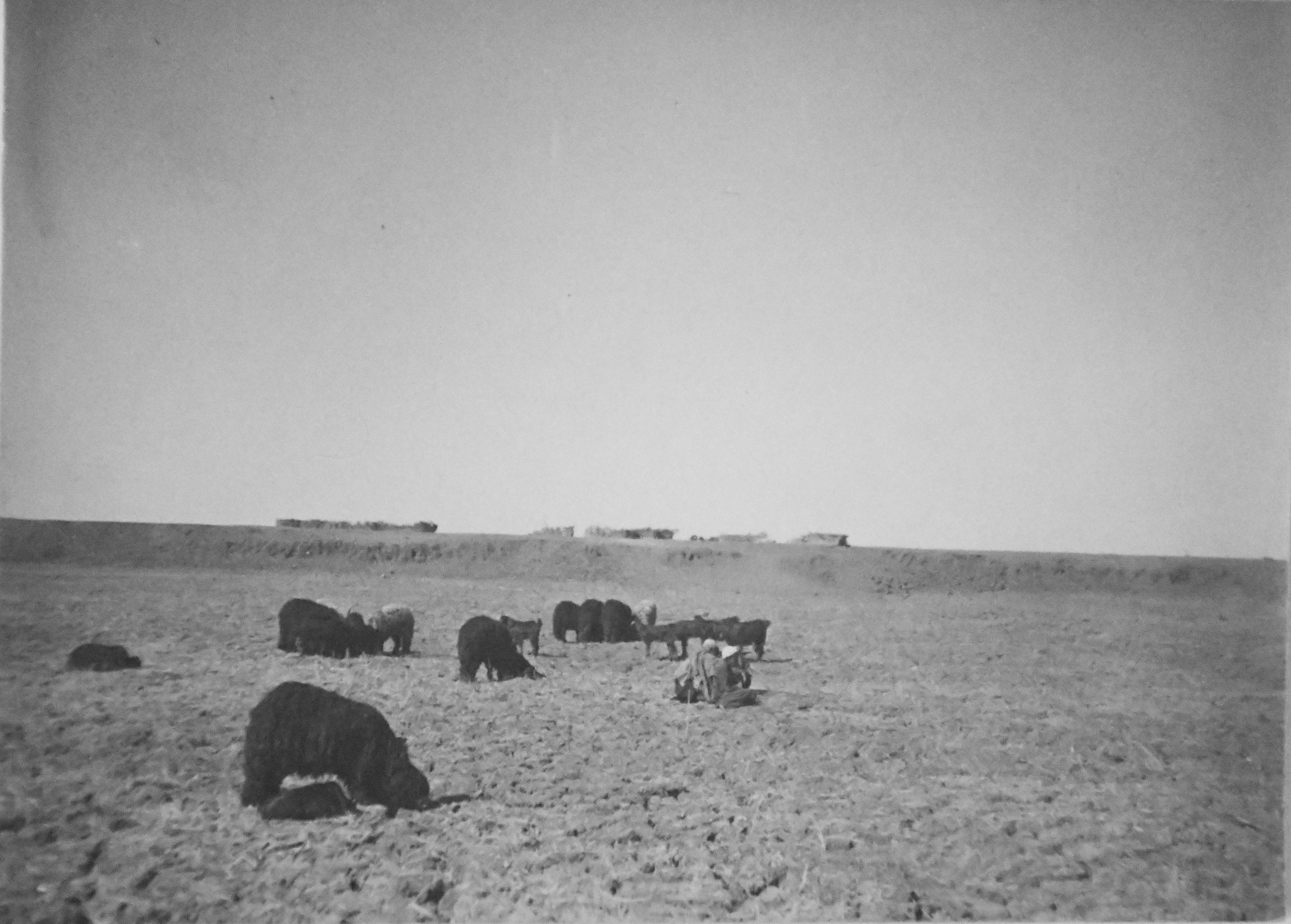
Agricultural photograph, with some cattle under the yoke of a plough, near the archaeological sites of Qau el-Kebir and Hammamiya. Schiaparelli excavations.
Distant view of the caves and stone quarries, presumably seen from the area of Wahka II's tomb. Very poorly preserved photograph, possibly due to excessive exposure to light. Schiaparelli excavations.
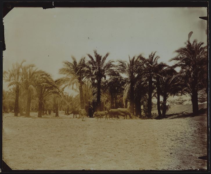
Landscape near the archaeological site of Qau el-Kebir and Hammamiya, palm grove with grazing animals. Schiaparelli excavations.
Mountain landscape near the archaeological site of Qau el-Kebir. Immediately to the left was, (and can be glimpsed) the cave with the Italian Mission’s camp, as evidenced in photograph B6_5_3. Schiaparelli excavations.
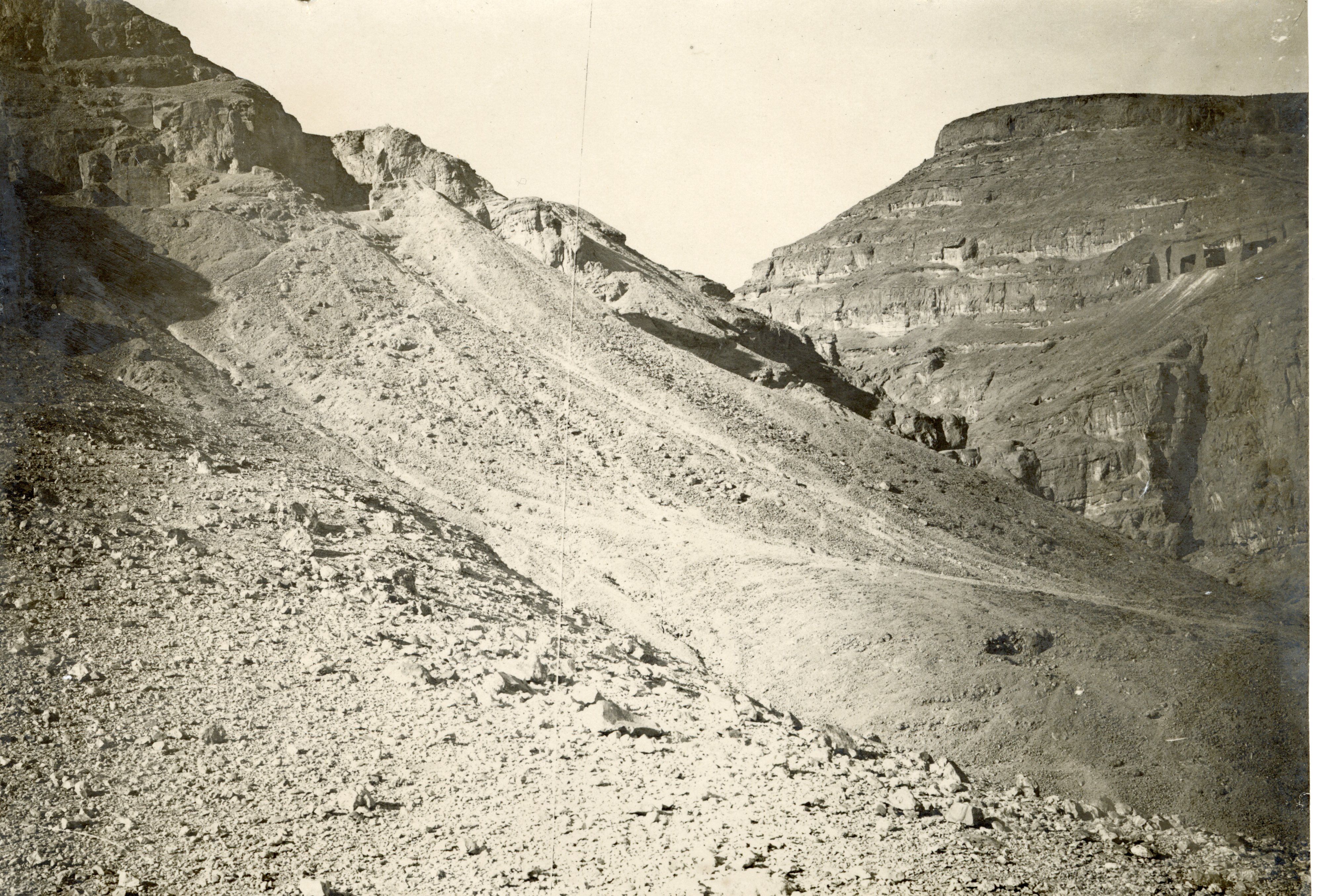
View of the mountain of Qau, where some caves used in the past as stone quarries can be seen in the upper right (eastwards). Photograph presumably taken from the so-called pylon, slightly to the east (to the right when looking from the plain) of the tomb of Wahka II. Photograph slightly offset from B00135. Schiaparelli excavations.
Landscape in the Qau el-Kebir region. On the right, part of a parasol is just visible. Angelo Sesana Archive.
Landscape in the Qau el-Kebir region, near the rock-cut tombs. Angelo Sesana Archive.
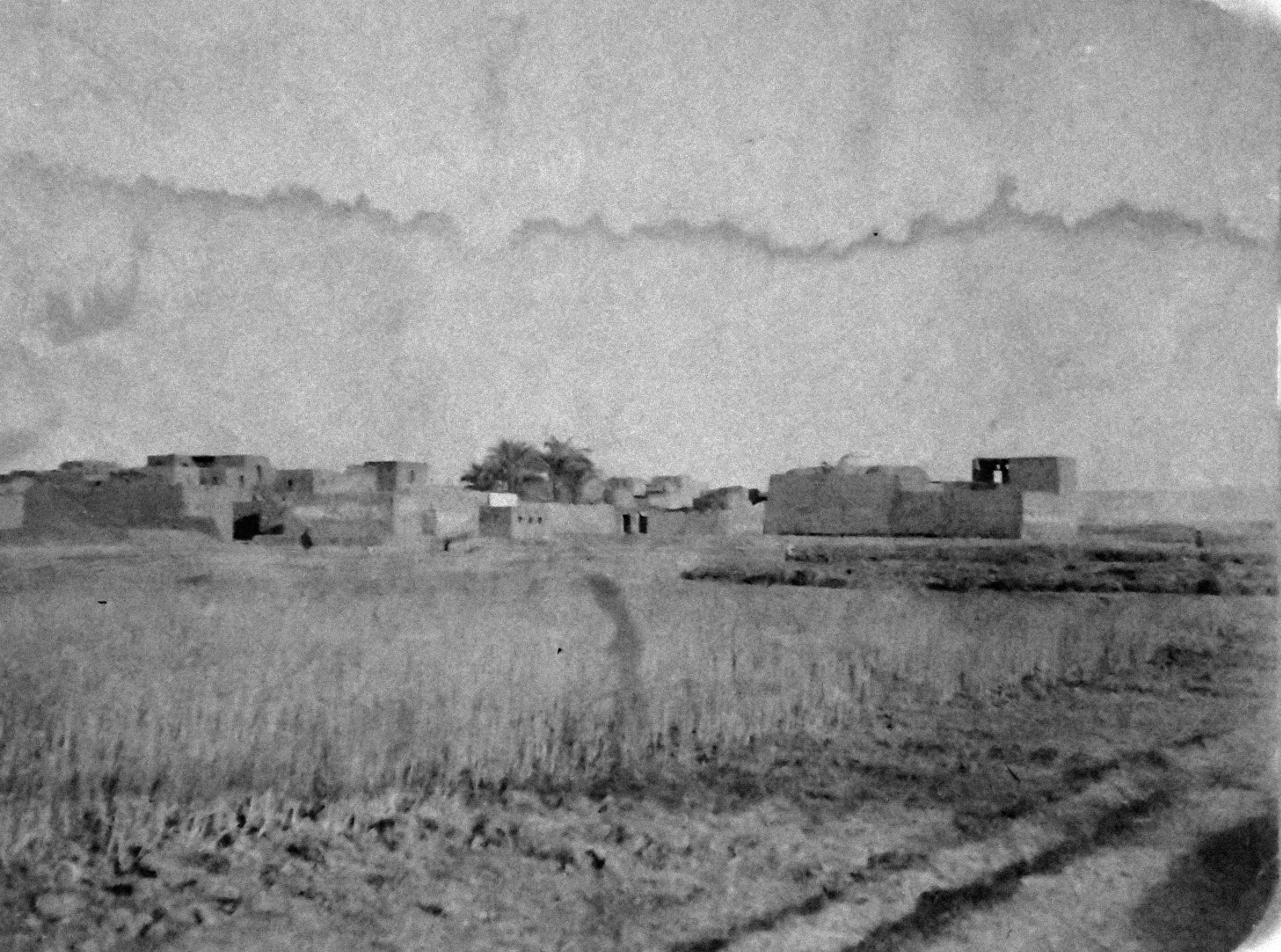
Some modern housing in the Qau el-Kebir region. Angelo Sesana Archive.
Landscape in the Qau el-Kebir region, near the rock-cut tombs. Angelo Sesana Archive.
Landscape in the Qau el-Kebir region, near the rock-cut tombs. Angelo Sesana Archive.
Landscape in the Qau el-Kebir region, near the rock-cut tombs. This photo shows a snapshot from everyday life, capturing two women while they are resting. Angelo Sesana Archive.
Landscape in the Qau el-Kebir region, with a photograph of a man and a child in front of a saqiyah: a hydraulic device for supplying water. Angelo Sesana Archive.
Landscape in the Qau el-Kebir region, in the background, the mountain and the rock-cut tombs. Angelo Sesana Archive.
Landscape in the Qau el-Kebir region, with the mountain on the left. On the right, an almost completely drained canal. Photograph taken from one of the embankments. Angelo Sesana Archive.
Landscape and agricultural life, presumably in the area of Qau el-Kebir. Angelo Sesana Archive.
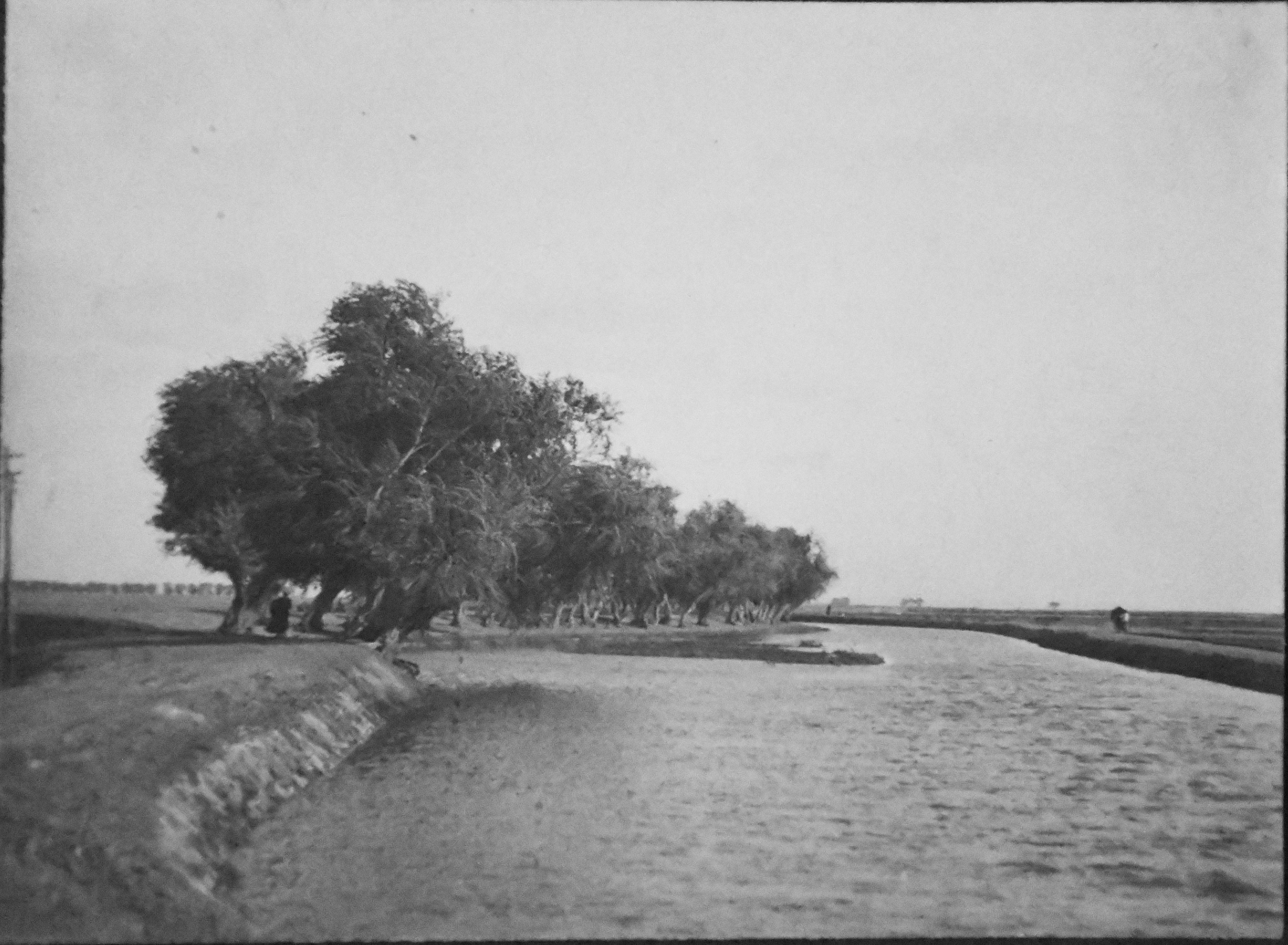
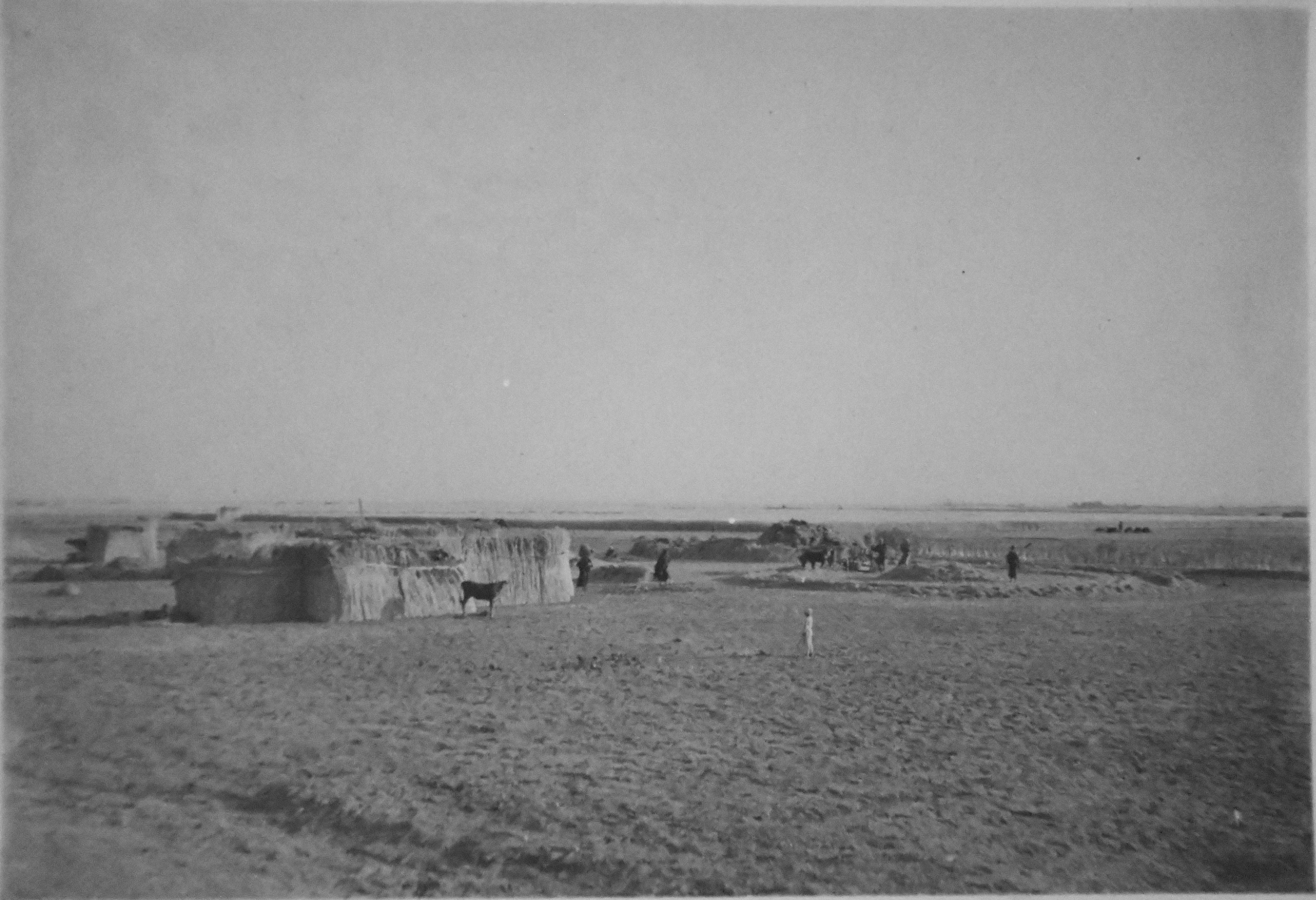
Image showing agricultural life. Angelo Sesana Archive.
Buffalo (gamuza) bathing in the Nile, presumably in the Qau el-Kebir area. Angelo Sesana Archive.
A herd of rams, presumably in the Qau el-Kebir area. Angelo Sesana Archive.
Landscape with a palm grove and pool of water, in an unidentifiable area. Angelo Sesana Archive.
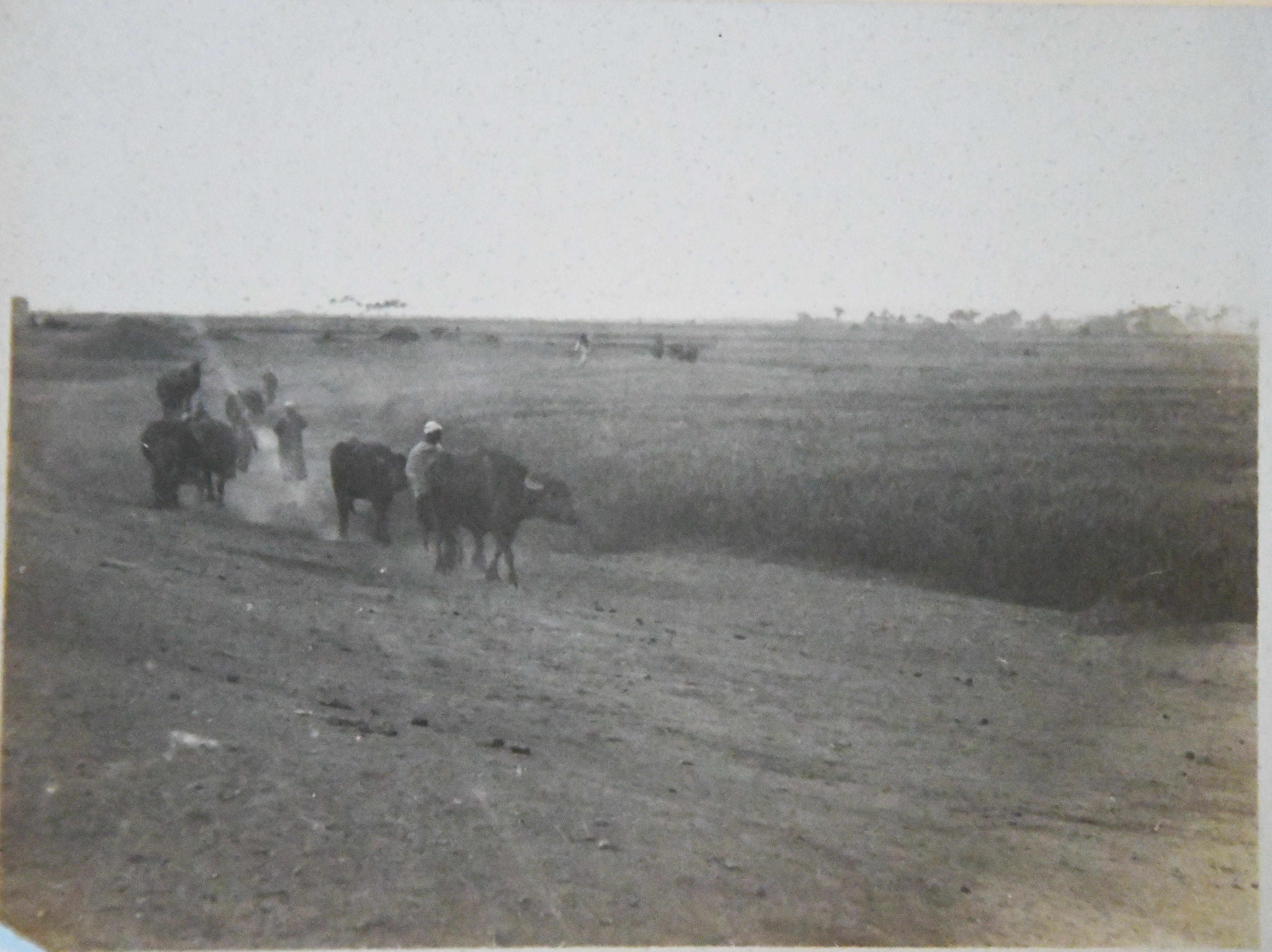
Image depicting agricultural life. Angelo Sesana Archive.
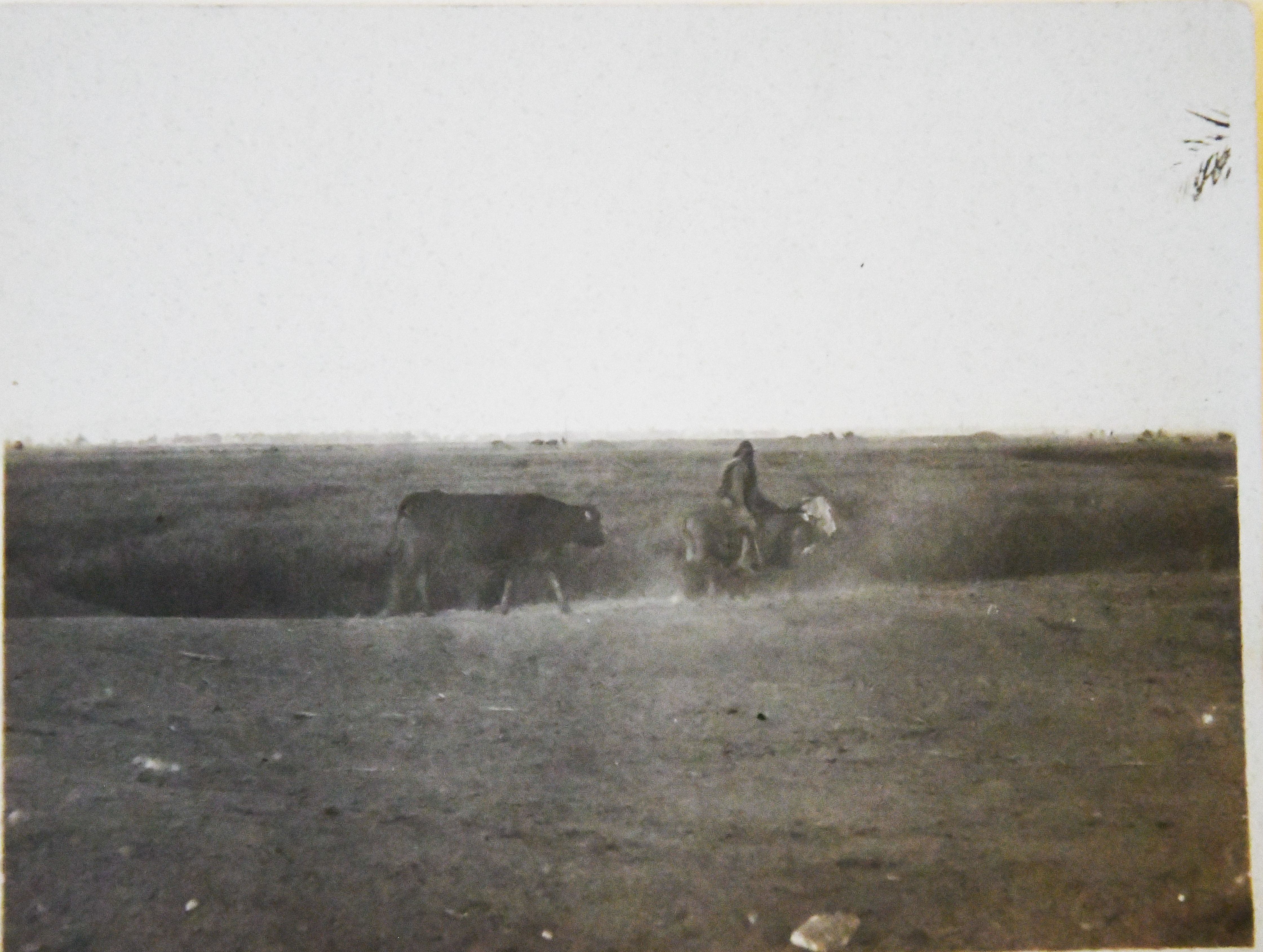
Image depicting agricultural life. Angelo Sesana Archive.
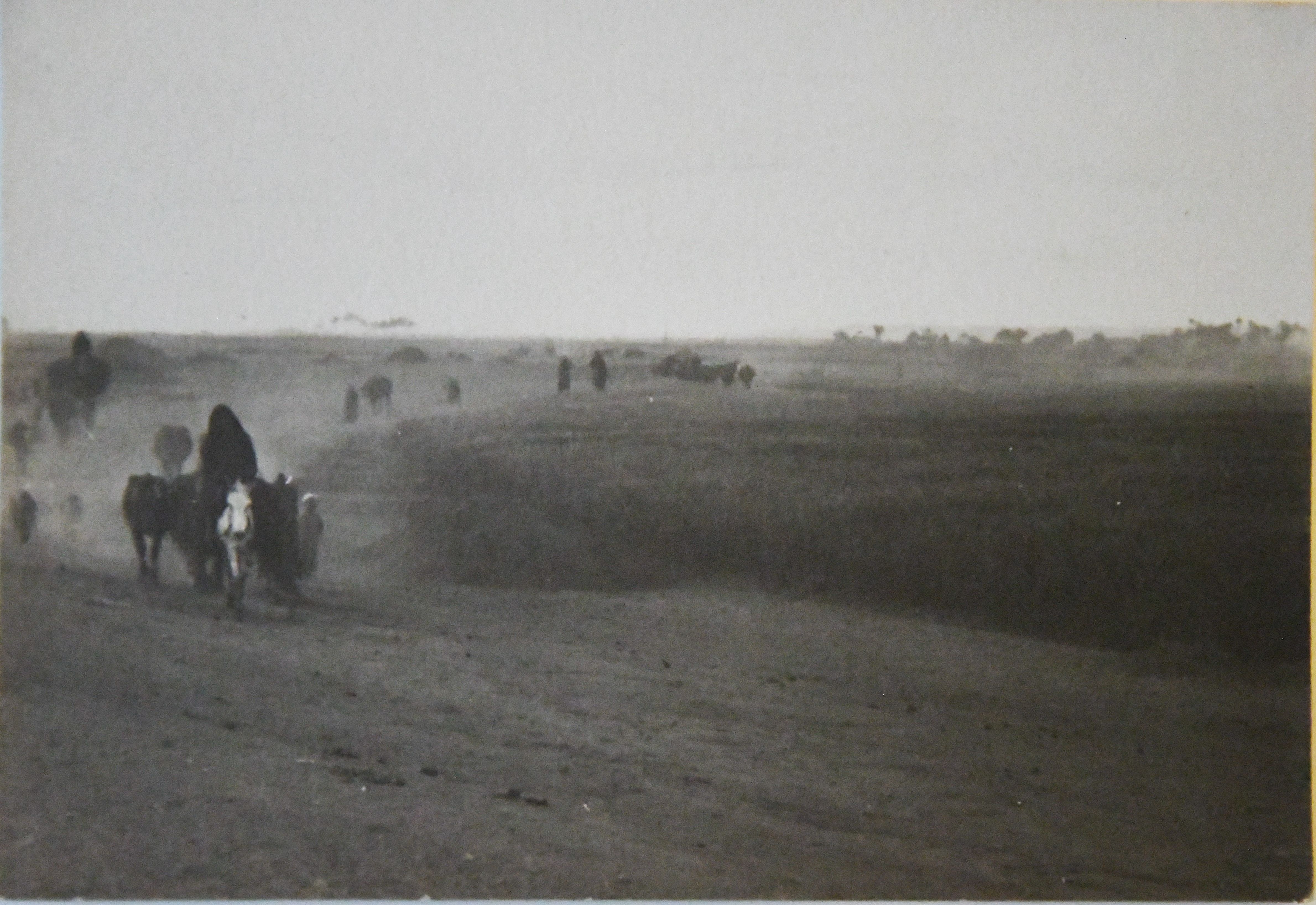
Image depicting agricultural life. Angelo Sesana Archive.
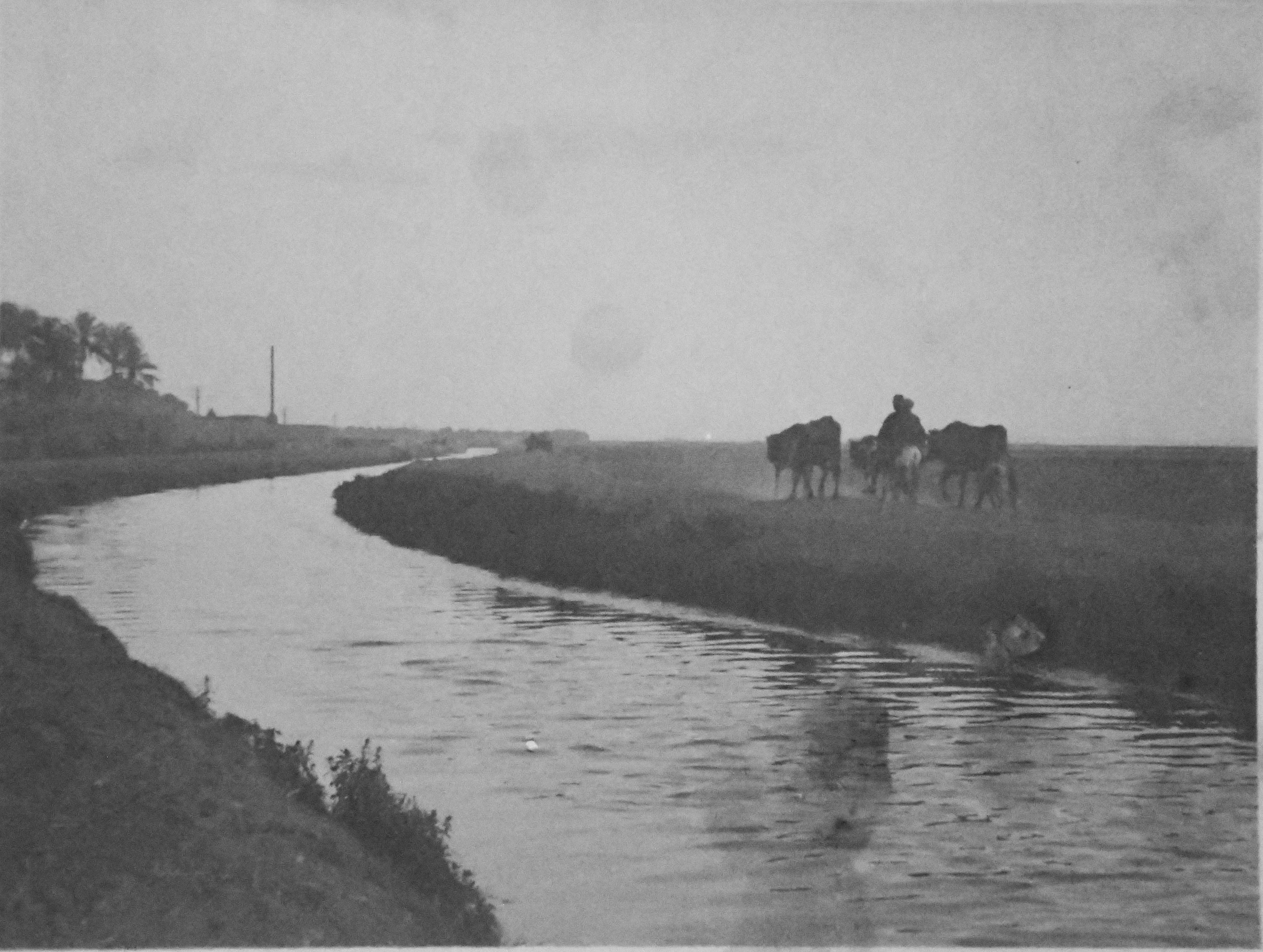
Image depicting agricultural life near a canal. Angelo Sesana Archive.
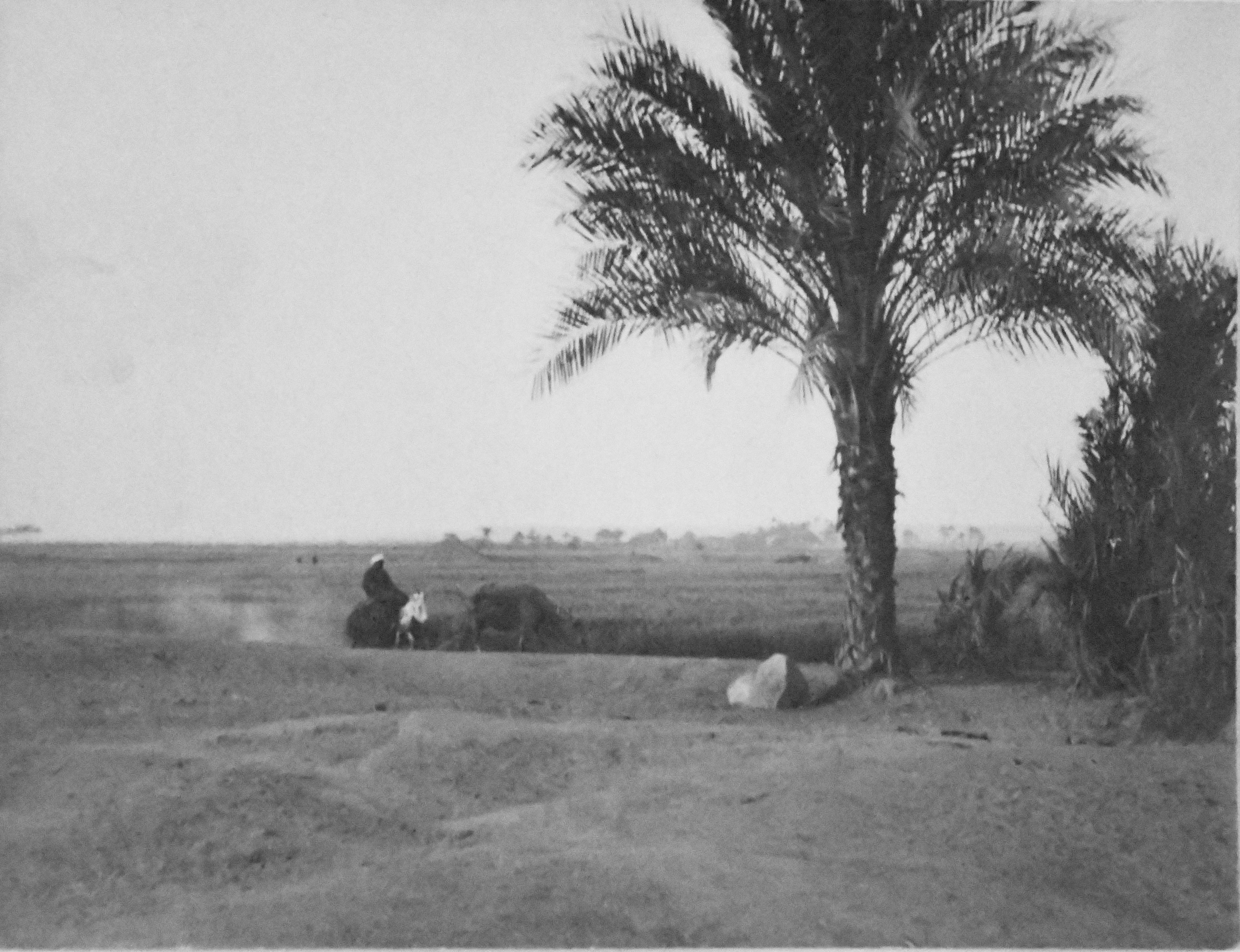
Image depicting agricultural life. Angelo Sesana Archive.
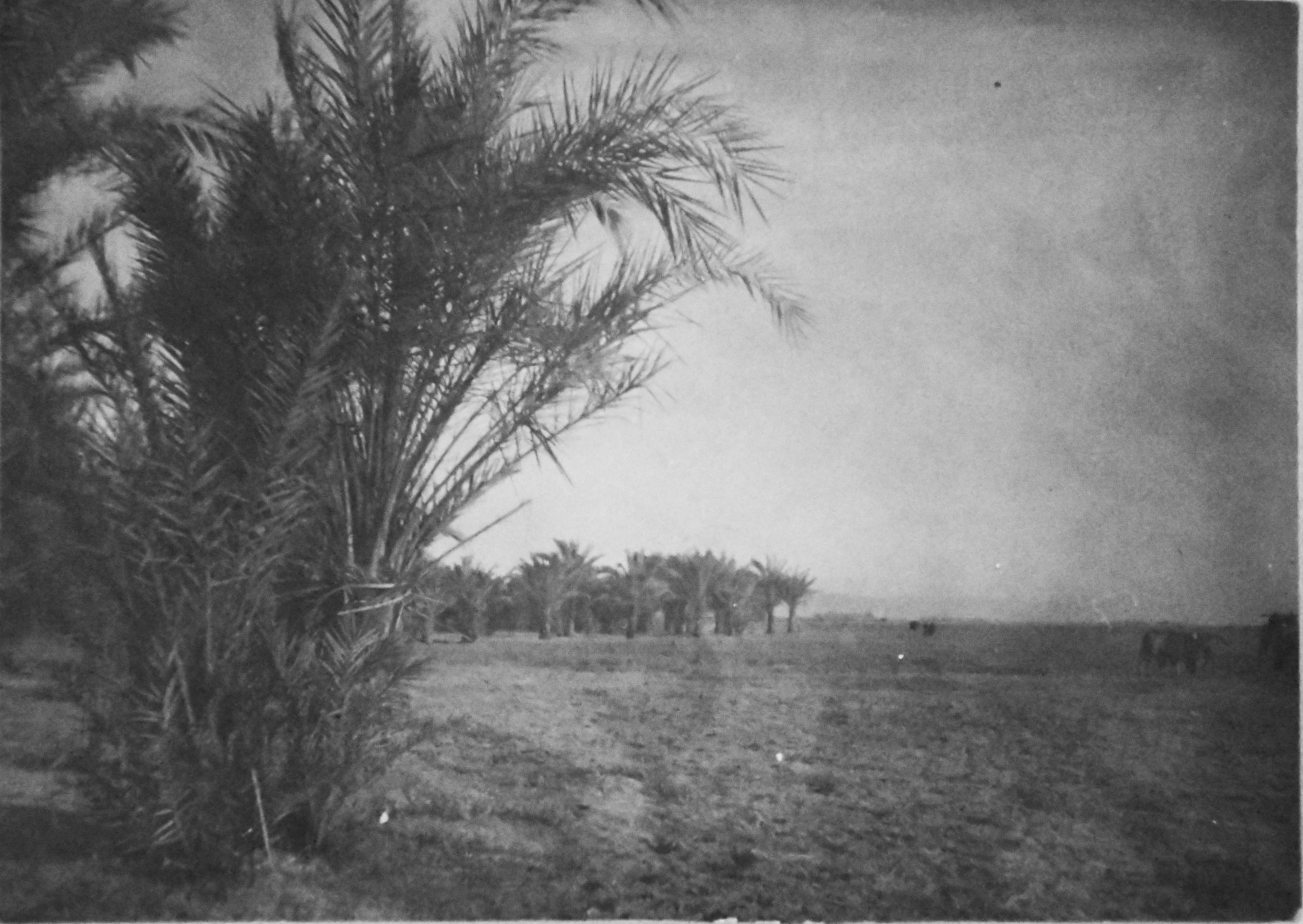
Image depicting agricultural life. Angelo Sesana Archive.
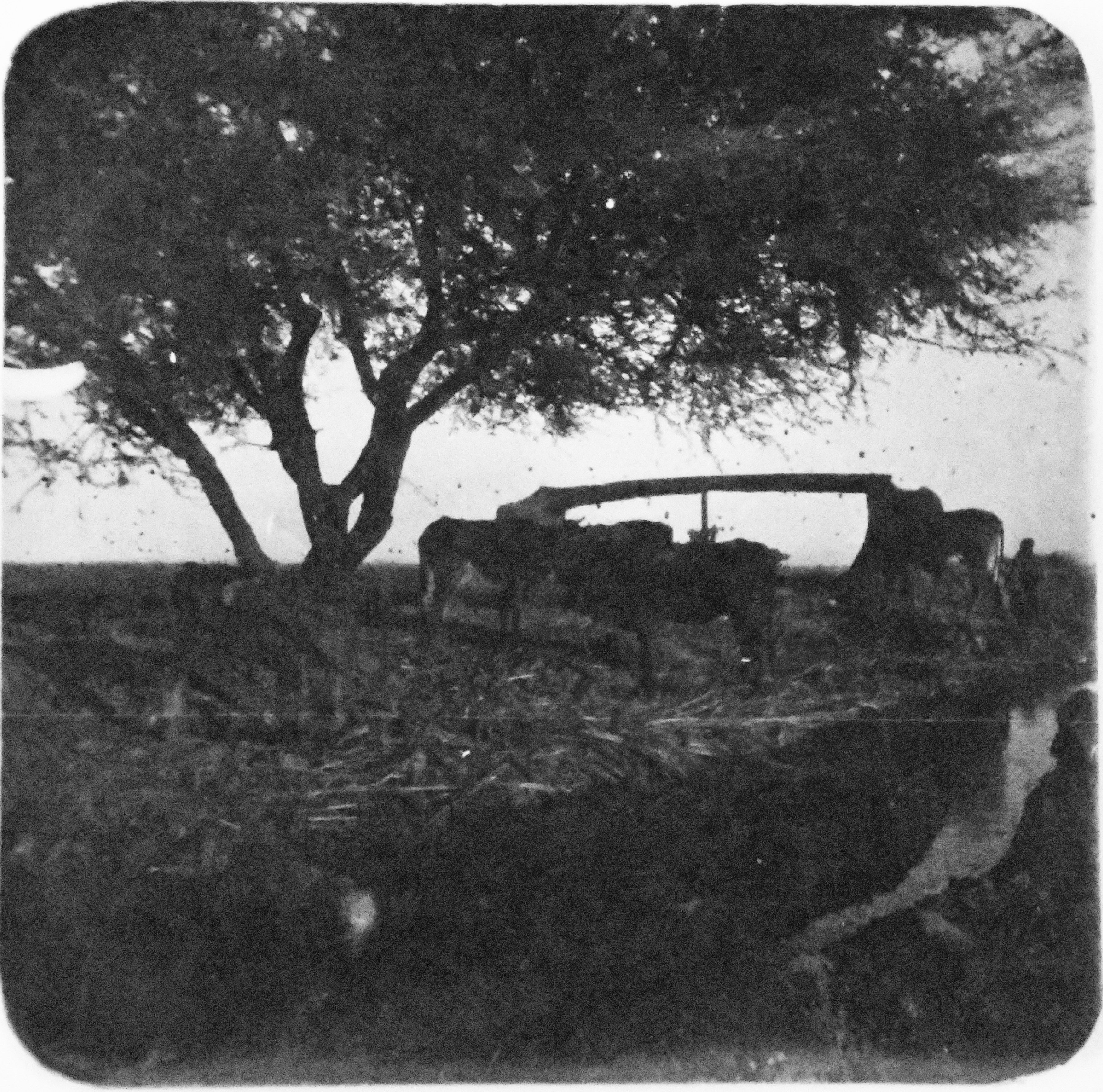
Image depicting agricultural life around a saqiyah, a mechanical device for collecting water. Angelo Sesana Archive.
Landscape and agricultural life, presumably in the area of Qau el-Kebir. Angelo Sesana Archive.
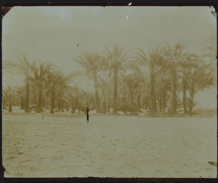
Landscape near the archaeological site of Qau el-Kebir and Hammamiya, palm grove with grazing animals. Schiaparelli excavations.
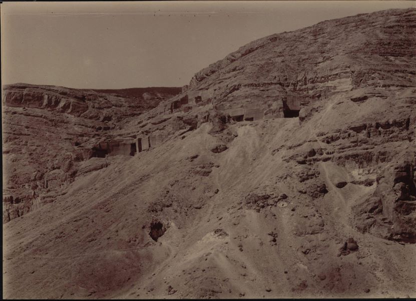
Distant view of the caves and stone quarries, presumably seen from the area of Wahka II's tomb. Very poorly preserved photograph, possibly due to excessive exposure to light, or a print that was too faint. Schiaparelli excavations.